Exploring Staunton State Park – Mason Creek to Bear Paw Trail

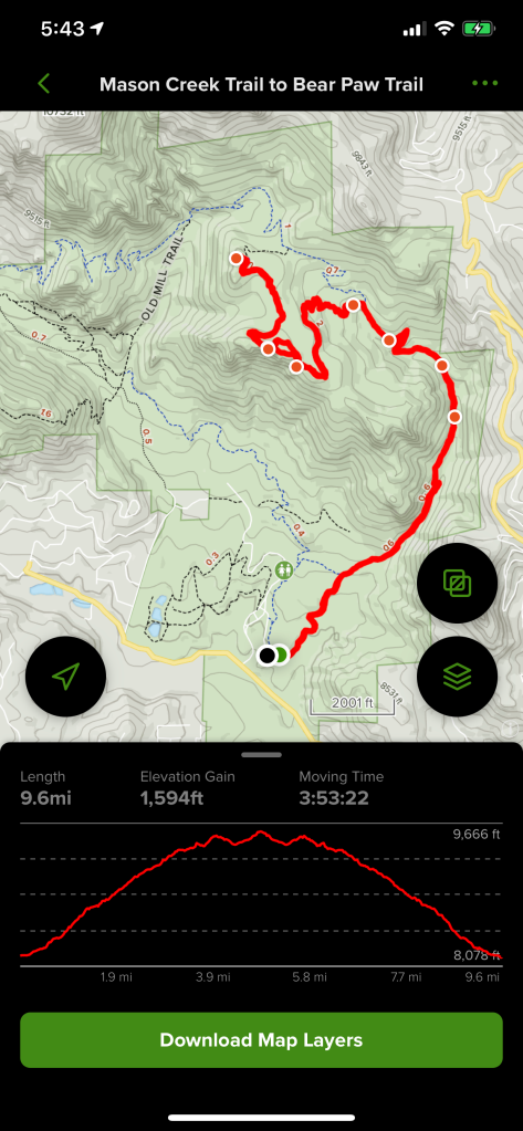
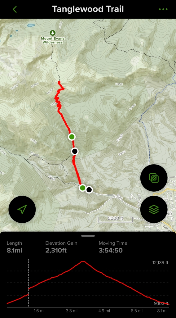
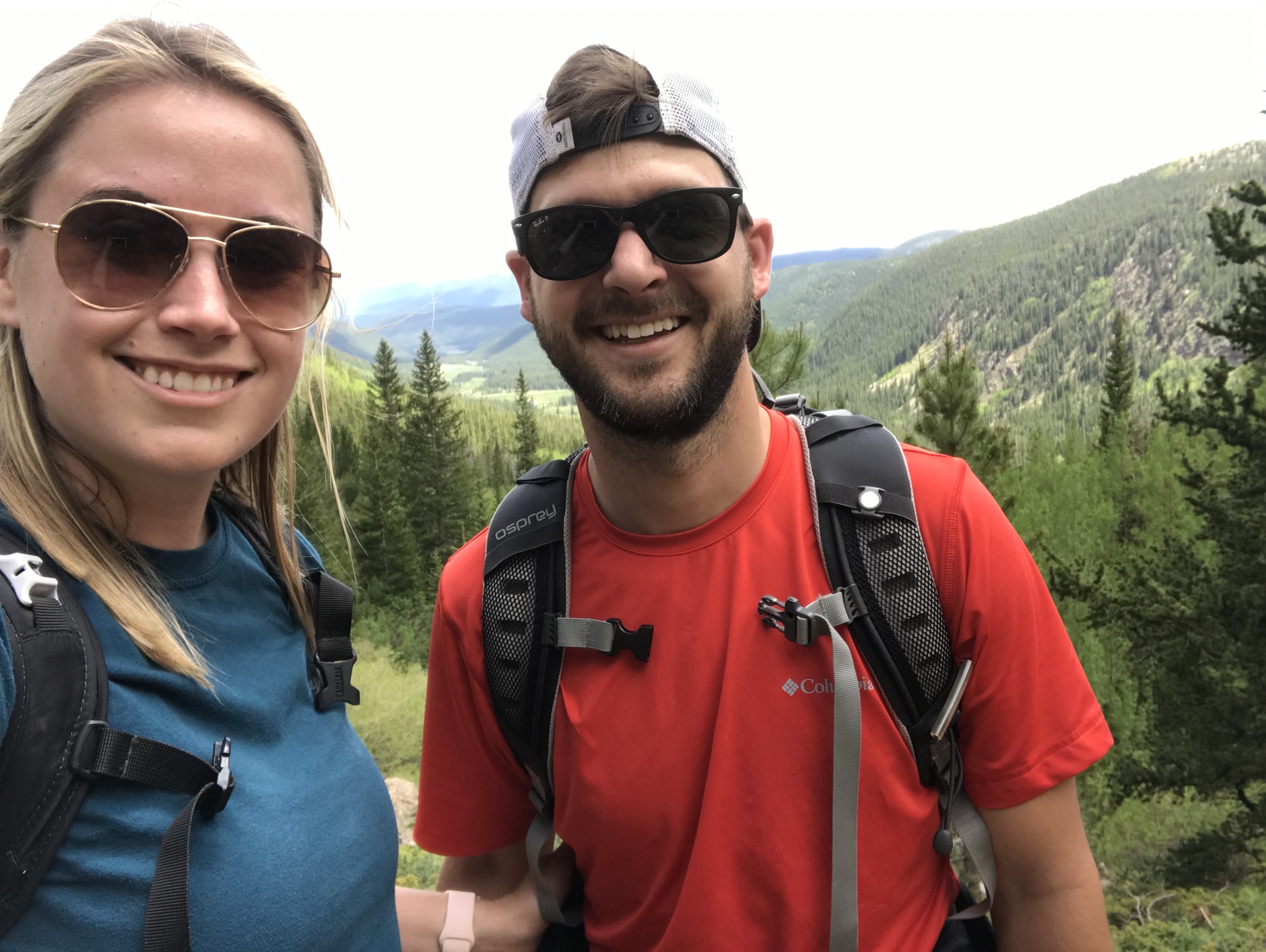
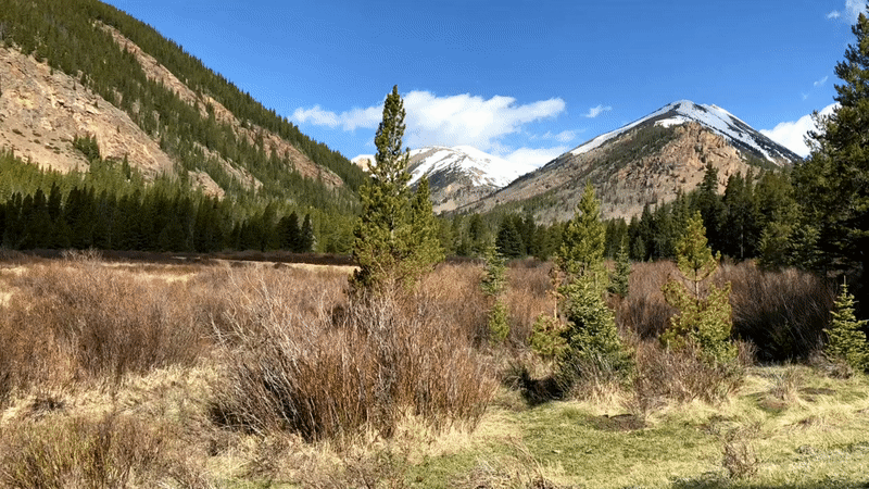
Those of you who have read a few of my posts are probably starting to notice a theme that the hikes that I choose tend to have some sort of a view as a payoff for your hard work. The trail I decided on this week was another one that I chose for exactly this reason. There were a total of 3 overlooks along the way that each offered amazing views. This was another heavily trafficked trail, so I knew to get there as early as I could.

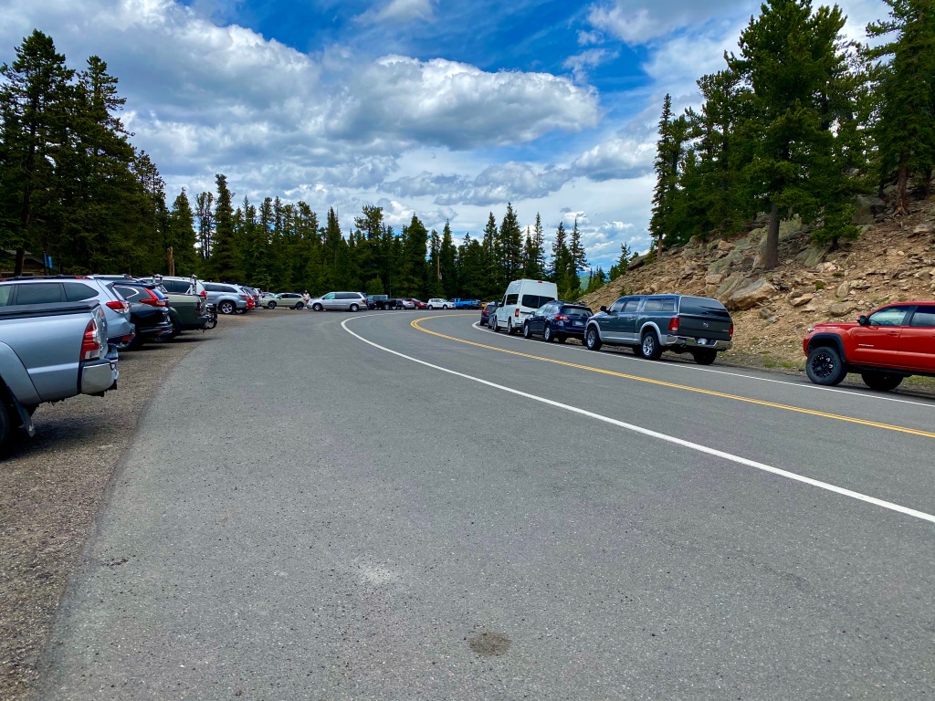
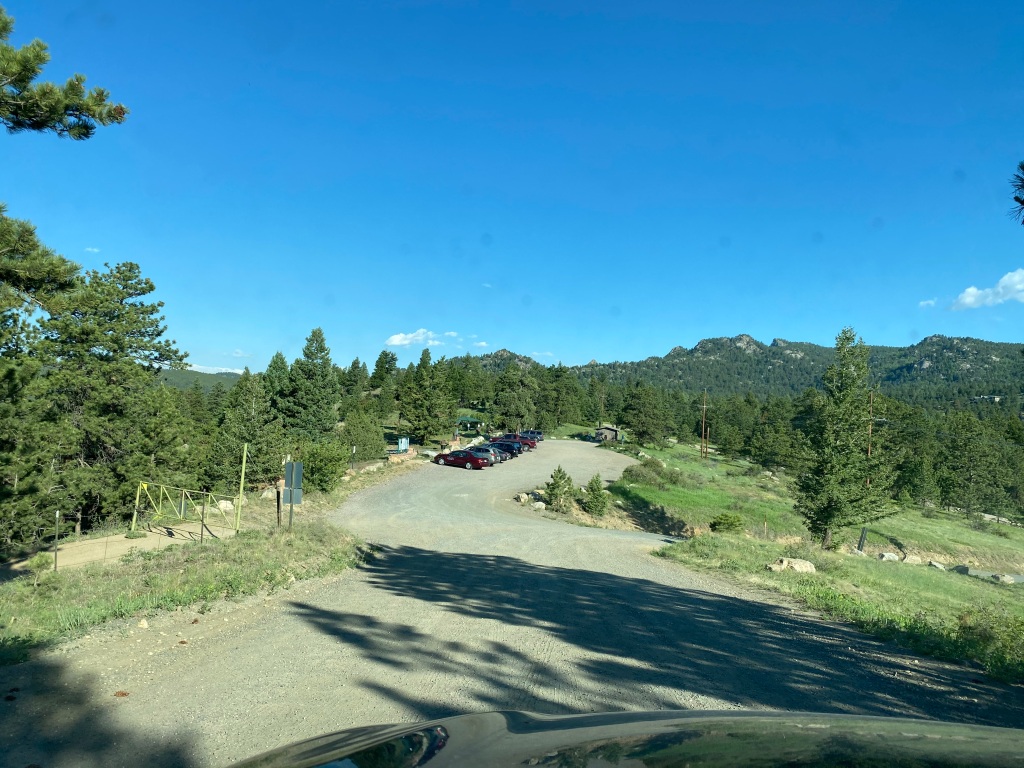
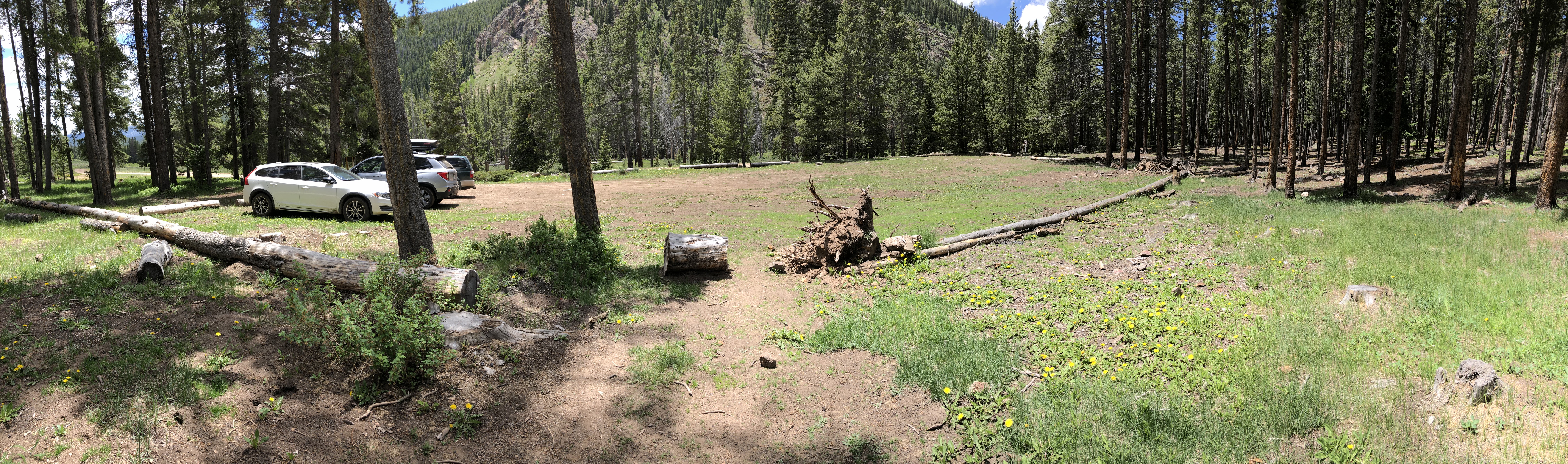
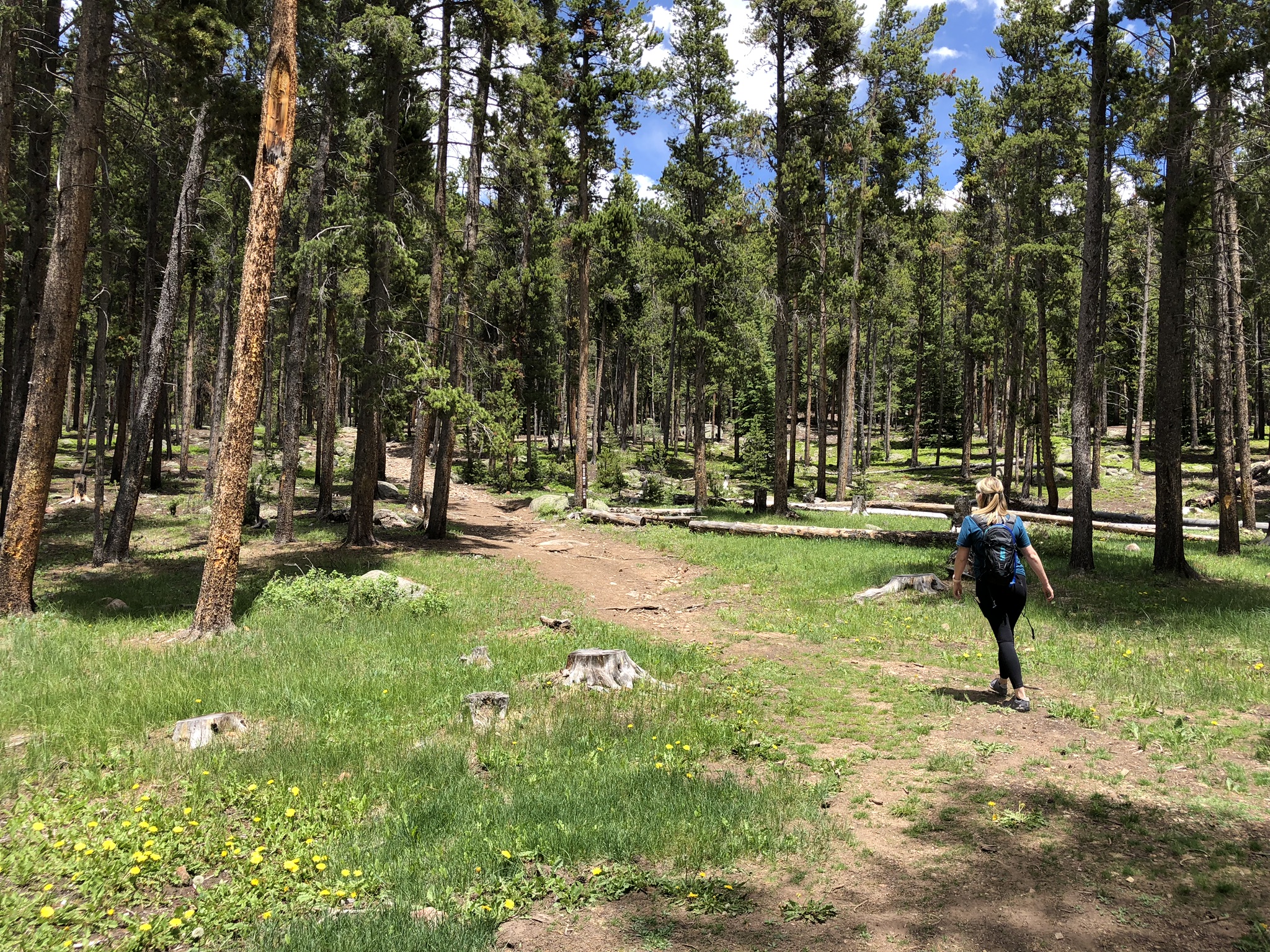
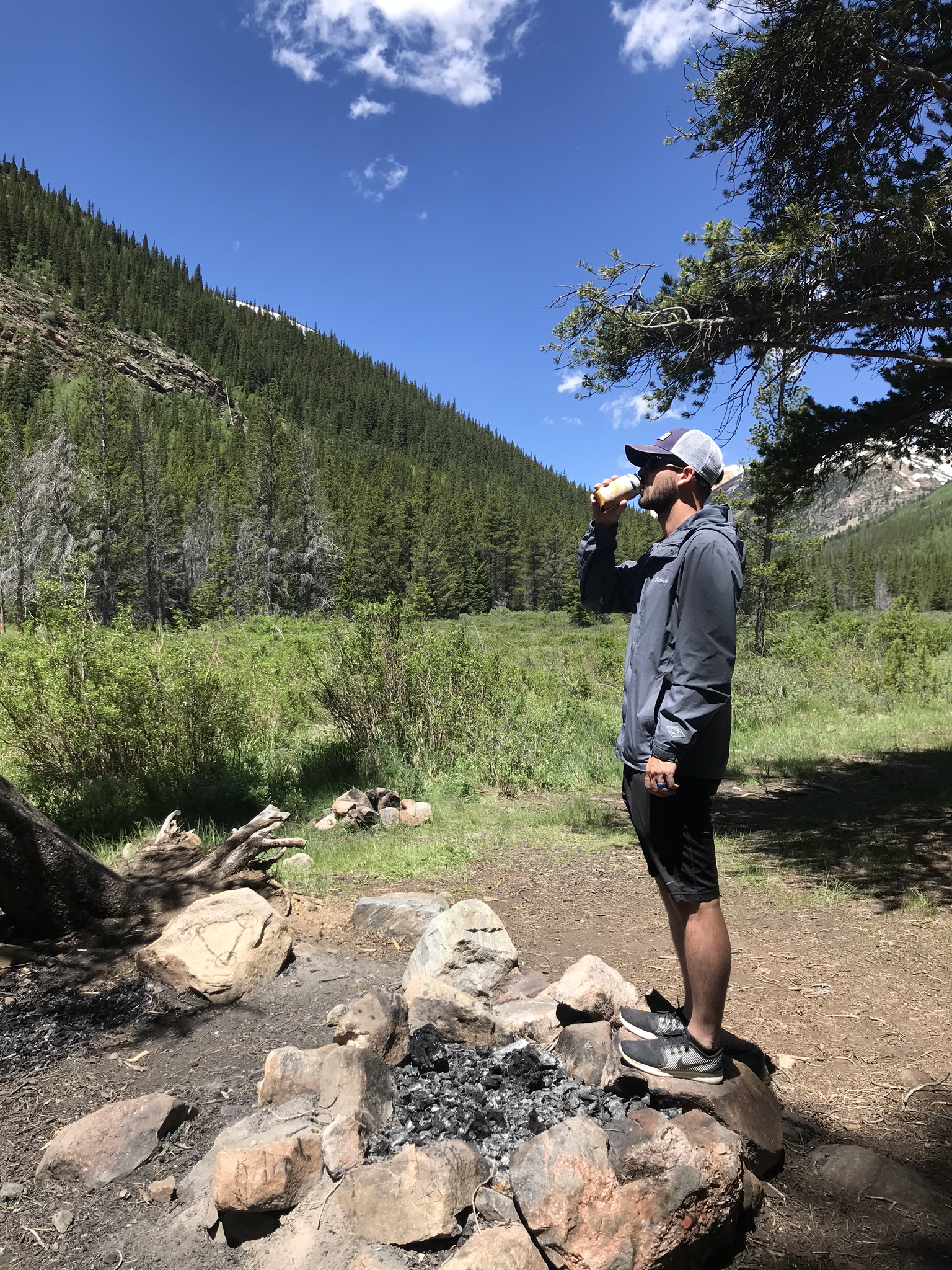
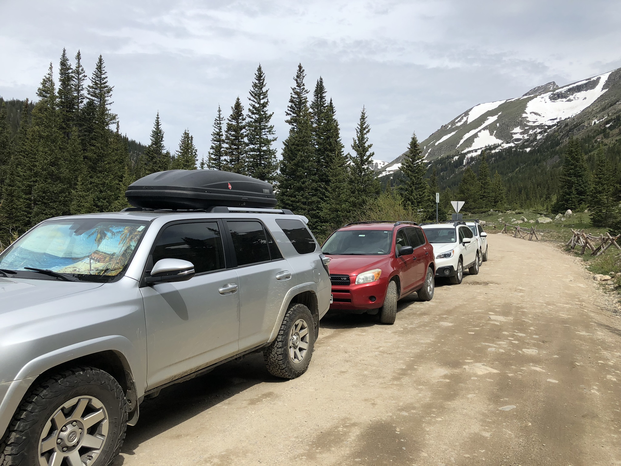
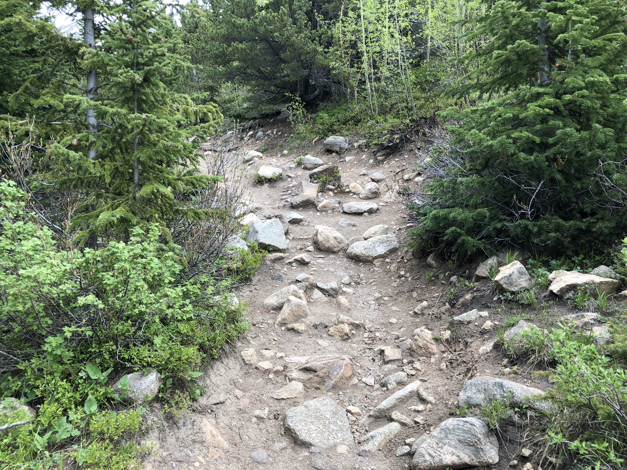
I arrived at Staunton State Park and paid the state park daily fee, appreciative that they had an option to pay with a card for those that may not carry cash. I navigated my way to the Mason Creek trailhead a short distance from the entrance of the park and made it to the parking lot at around 6:45, greeted by only three other cars. I held out hope that this “heavily trafficked” trail would turn out to be less so today. When I started, it was immediately obvious that I was in a state park, with the trail in immaculately maintained condition.

View of the beginning of the Mason Creek Trail with sunshine flowing through the trees
Sun peeking over the mountain top as it rises in the morning
View of the meadow and a sign describing the bridge just crossed

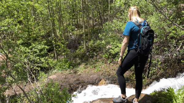
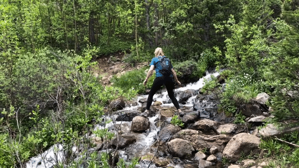
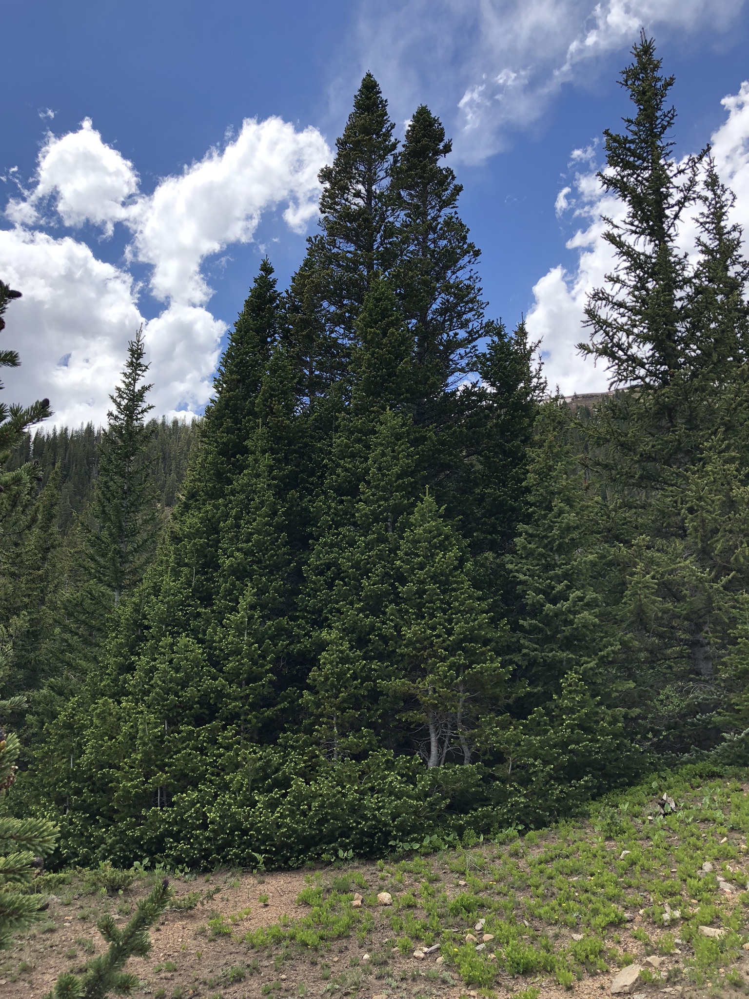
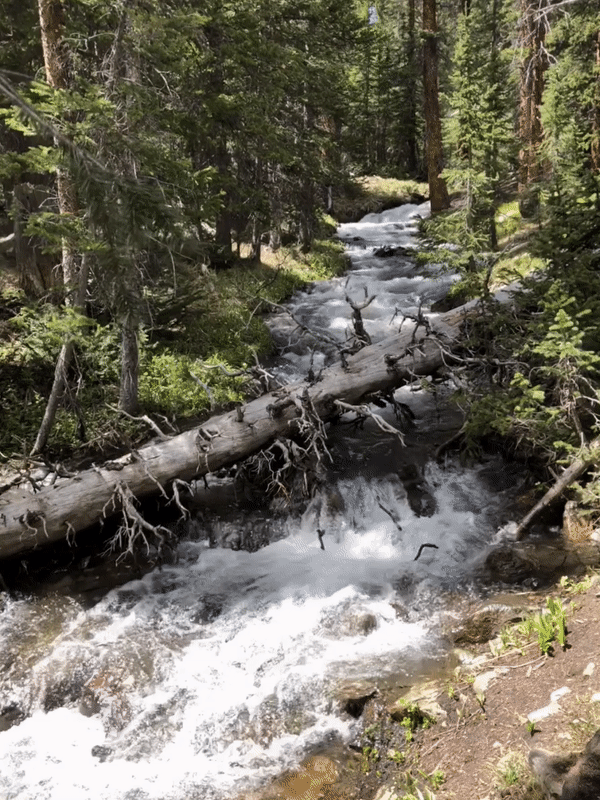
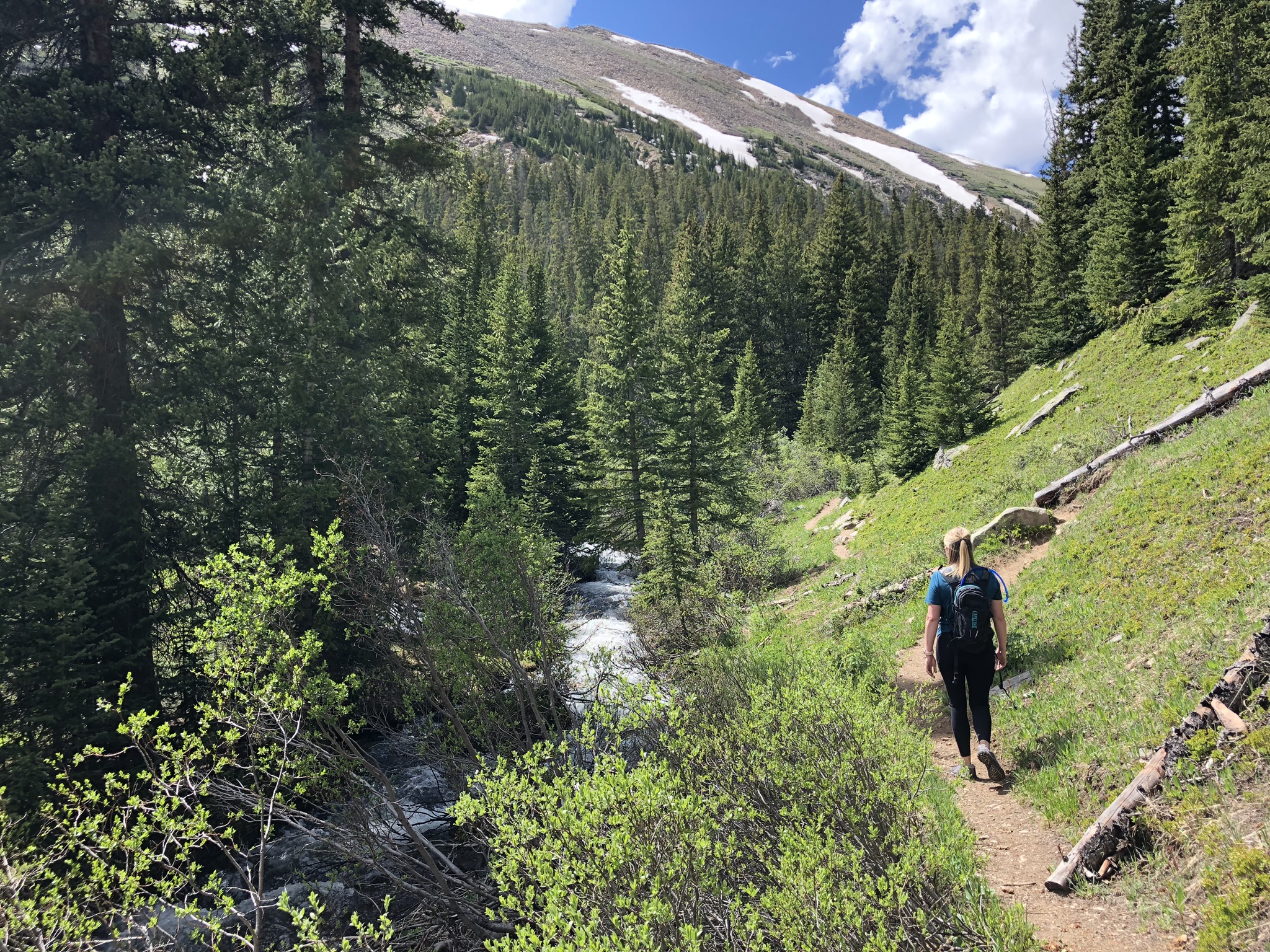
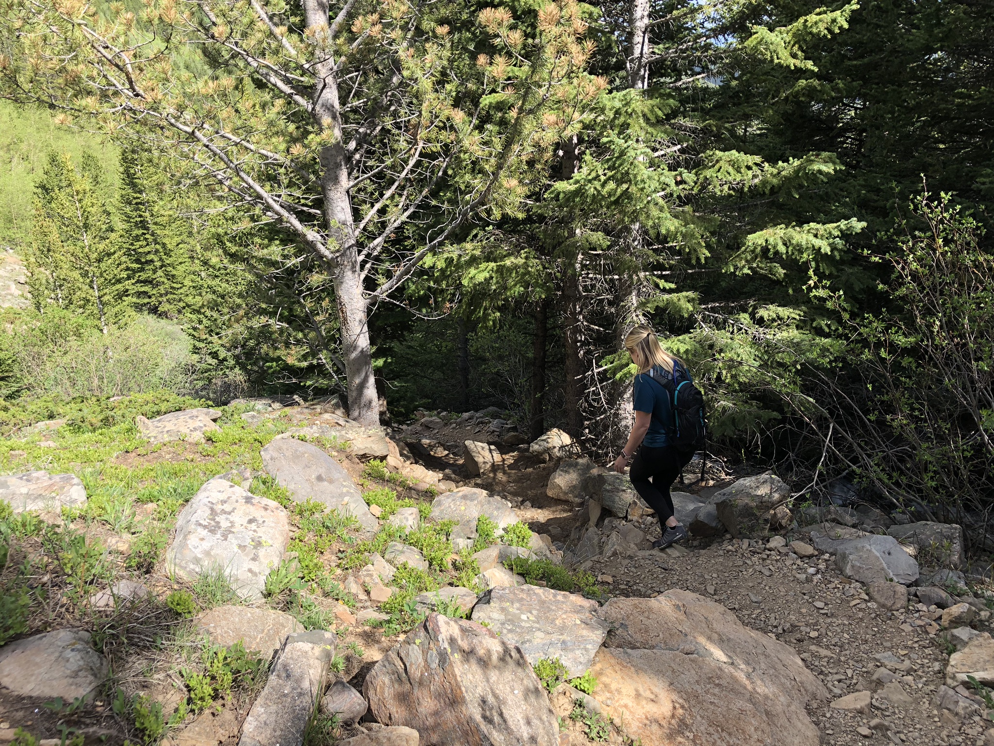
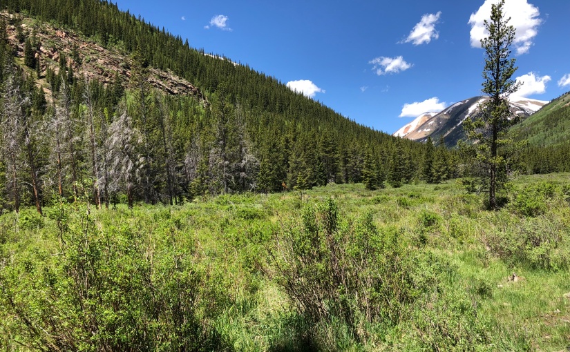
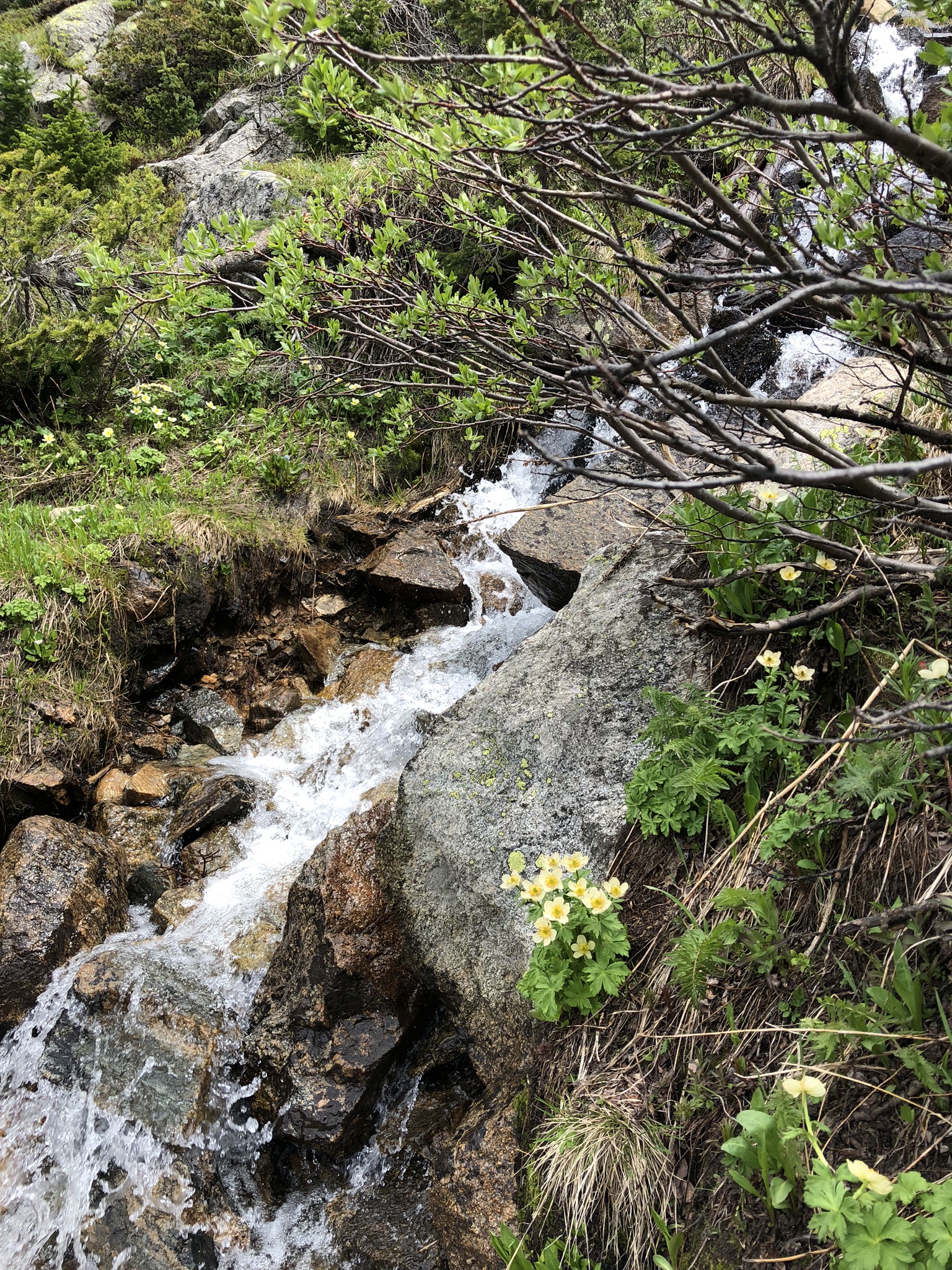
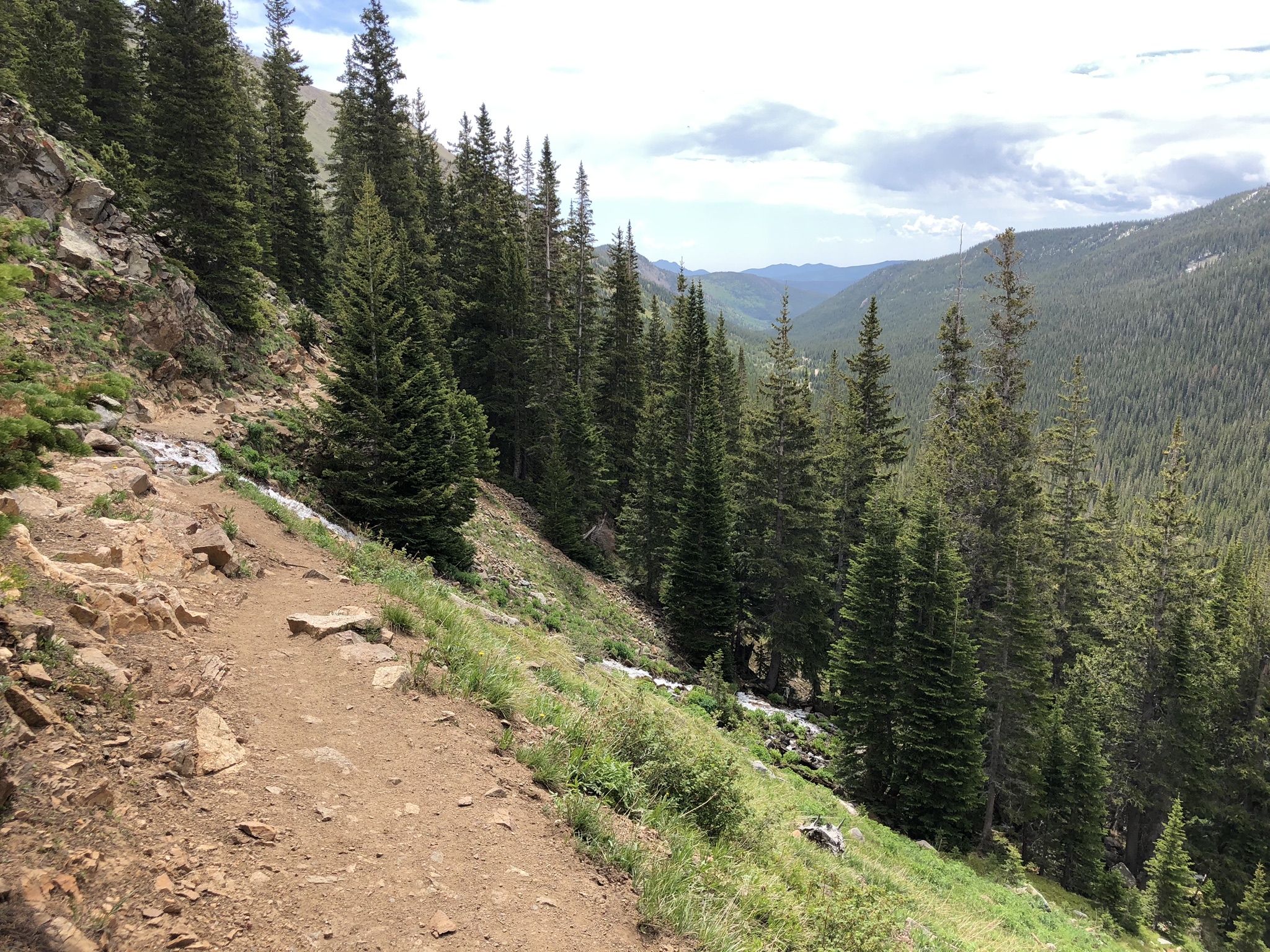
The trail starts out in a meadow setting before quickly turning to thicker forest, with Mason Creek along your right side. It was chilly again this morning and I tried to find the sun where I could. There were a couple areas off the trail and along the creek with benches constructed, which would be nice to read, write, or simply just meditate with the sound of the flowing water constantly next to you. There were also a couple of designated rock climbing areas right along the trail. Maybe one day I’ll come back and give that a try!

View of the heavily wooded trail
View of one of the seating areas along the creek
Sign detailing where to turn off for the Dines Cliff Climbing Access
Beautiful rock landscape along the trail
Trail leading to the Raven Climbing area just off the trail
Wooded and rocky trailing leading up
A stream crossing along the Mason Creek Trail
Rough hiking terrain on the Mason Creek Trail

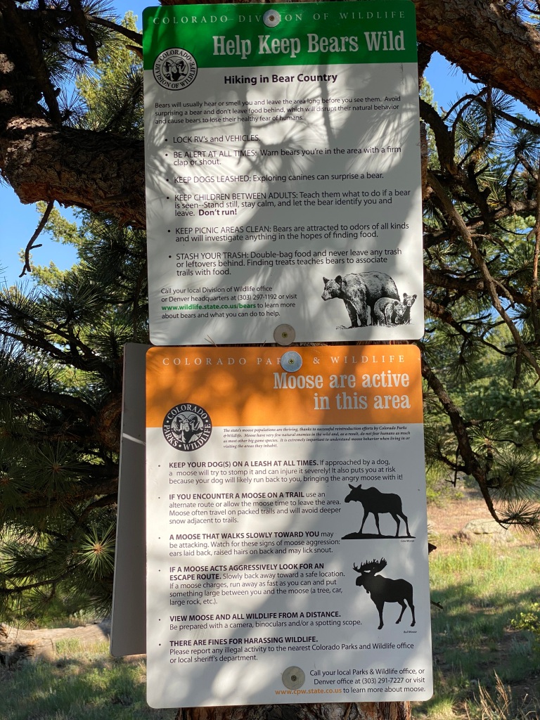
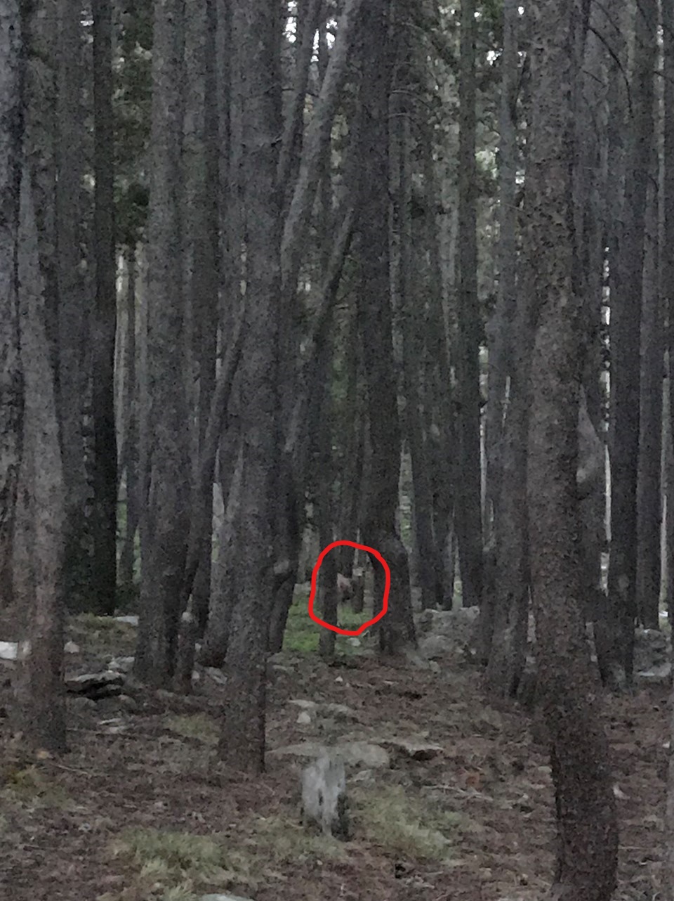
I had a few different wildlife encounters during this stretch of the hike. First, I was startled by a deer that I could hear running alongside me, but he was hard to find.

Deer peering through the trees back at me
Closer view of the deer staring back at me through the trees
Oh hello there!

Next, I ran into a marmot who had his eye on me and definitely didn’t want me getting too close. I snapped a few shots from a distance before continuing on, with the little guy scampering off somewhere too.

Marmot sitting on a rock along the trail

I ran into another couple of deer right on the trail, and I wasn’t sure if the first one was going to let me pass or not! It was amazing getting so up close to them, and the second one even gave me a little leap as he hurried on to find a quieter place to graze.

Deer waiting alongside the trail for me
GIF of deer hopping away from me

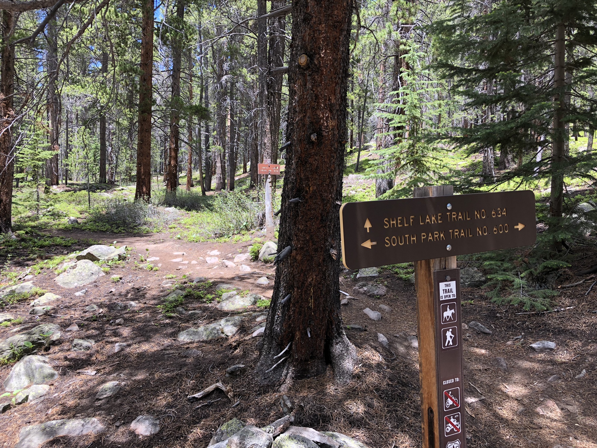
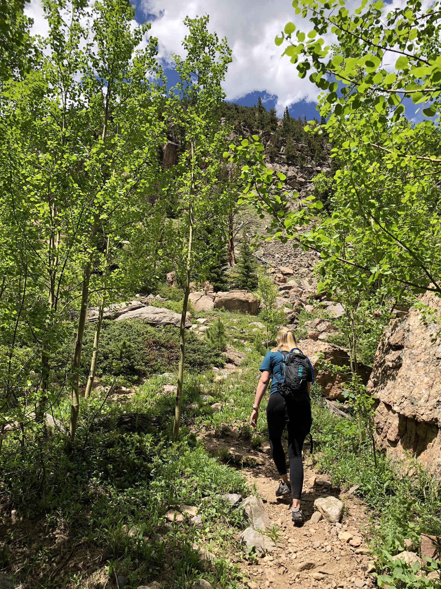
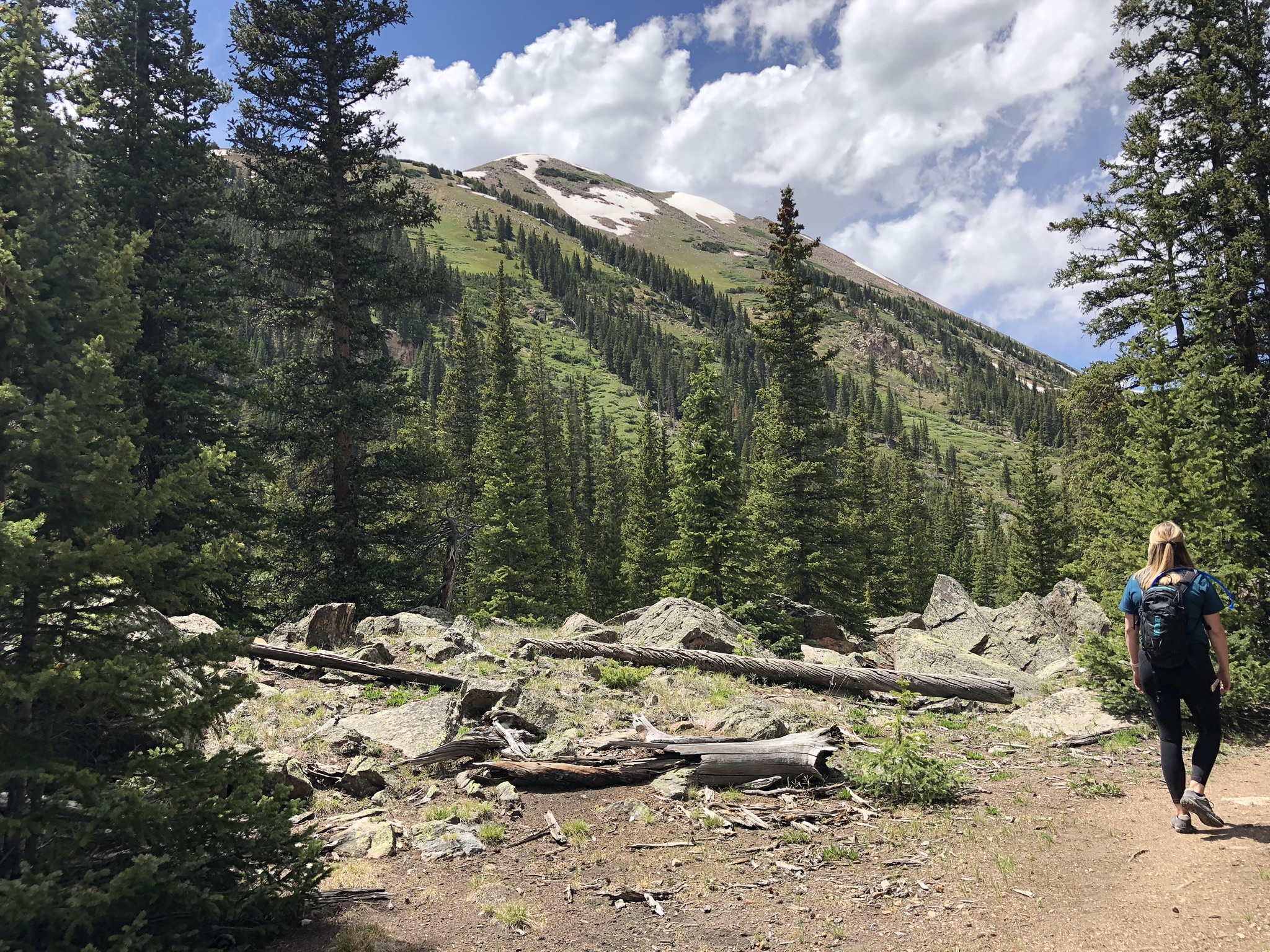
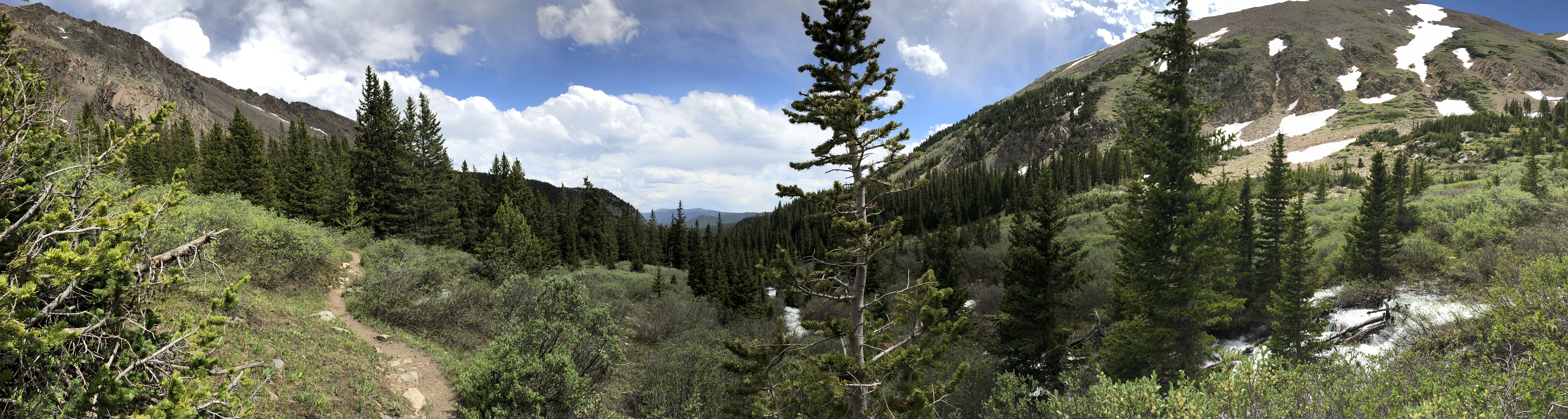
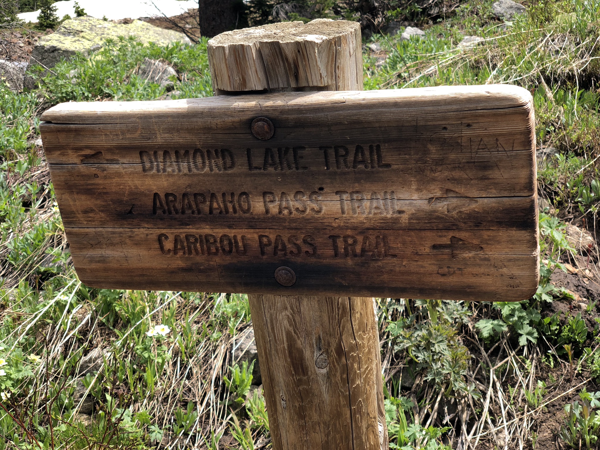
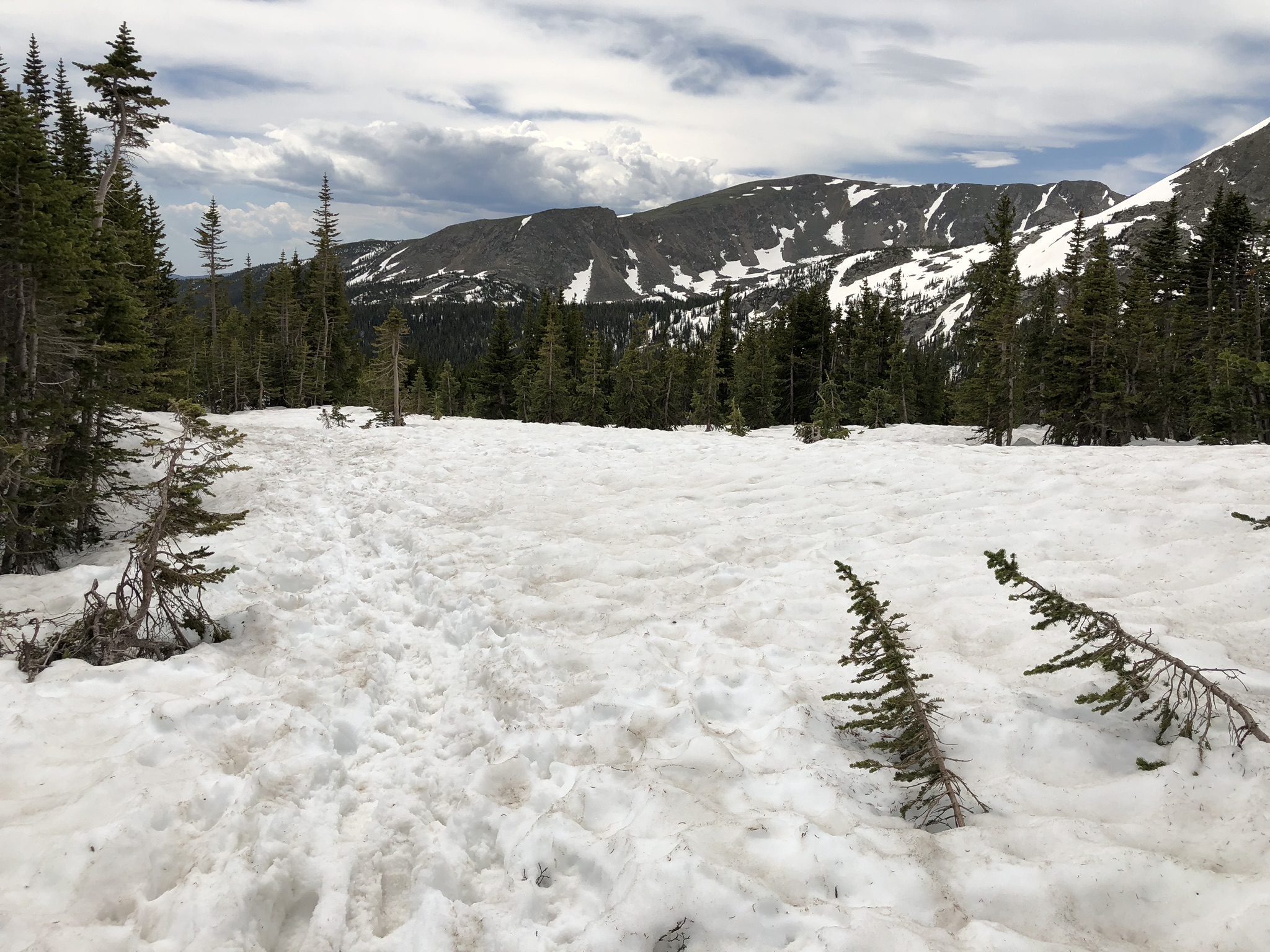
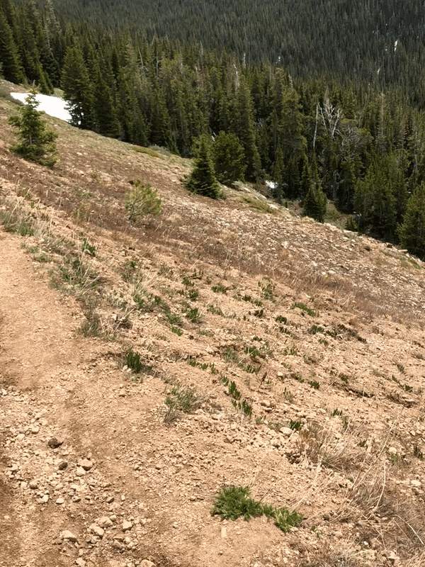
It wasn’t until you got a few peeks at the surrounding cliff sides that you could tell you were making some progress, although my heavy breathing and heart rate might beg to differ. I reached the detour on the Mason Creek trail that forces you onto the Bear Paw trail, but honestly, this is the hike I wanted to do anyways, as this took me to the various outlooks.

Rocky landscape along the Mason Creek Trail, looking up at the sun beating down.
Detour off Mason Creek Trail to Bear Paw Trail

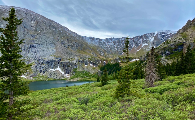
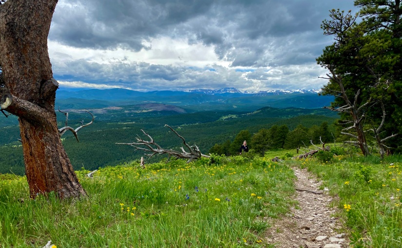
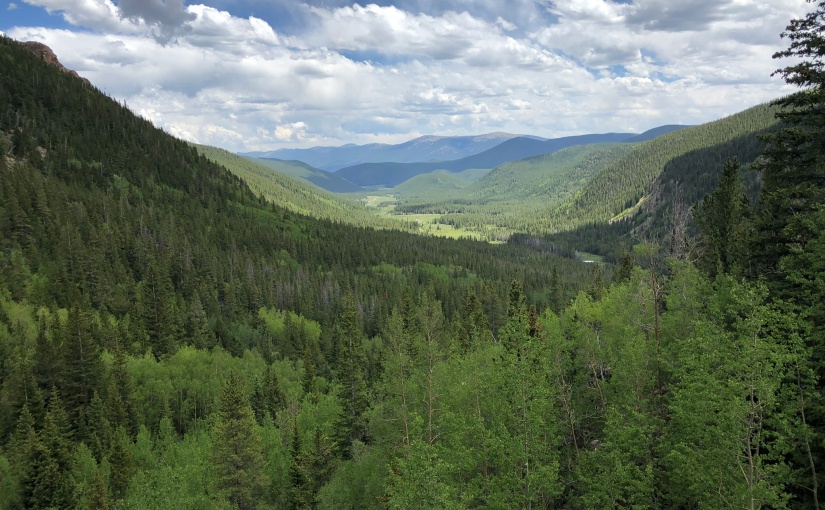
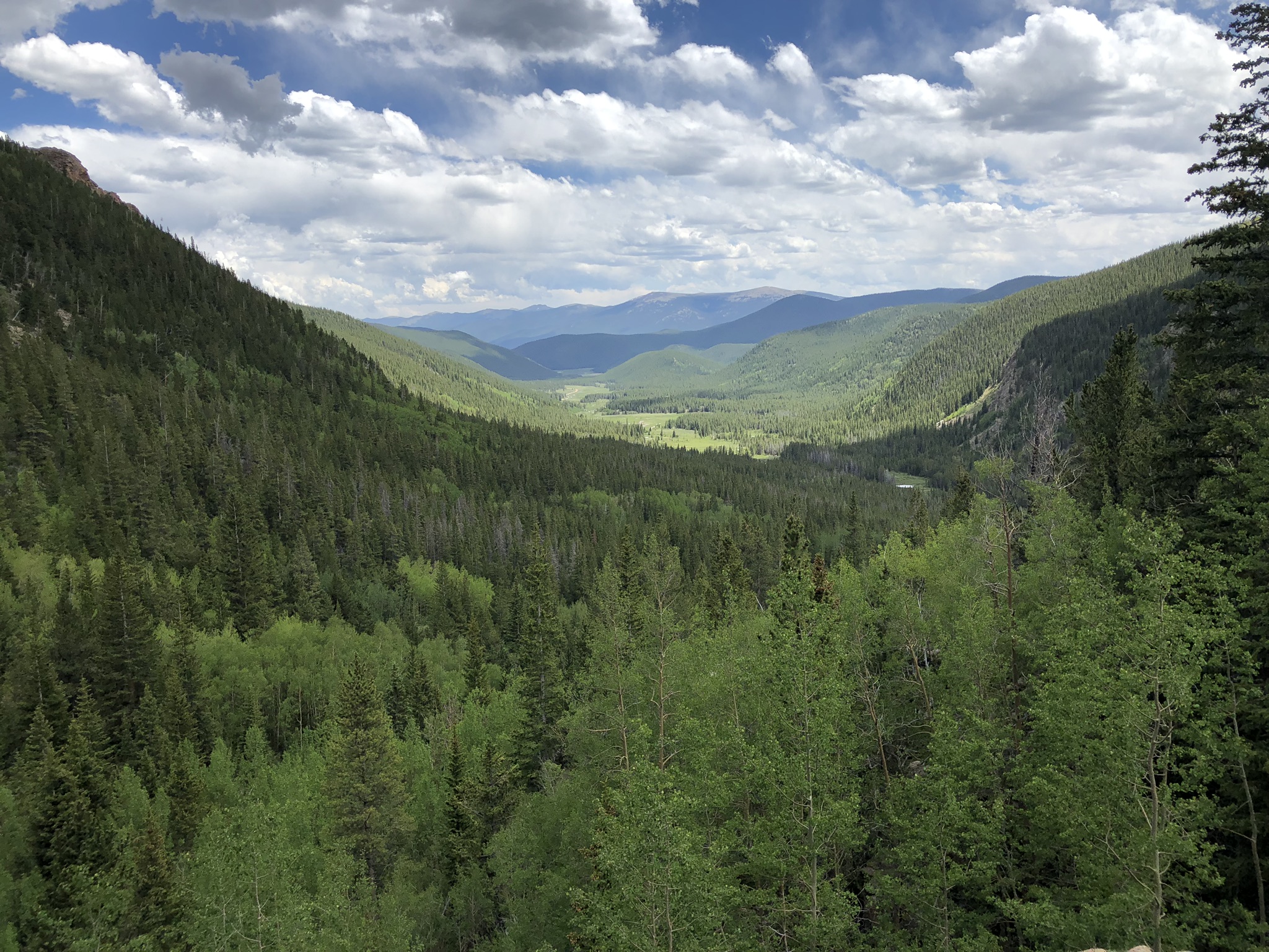
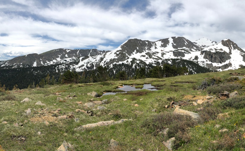
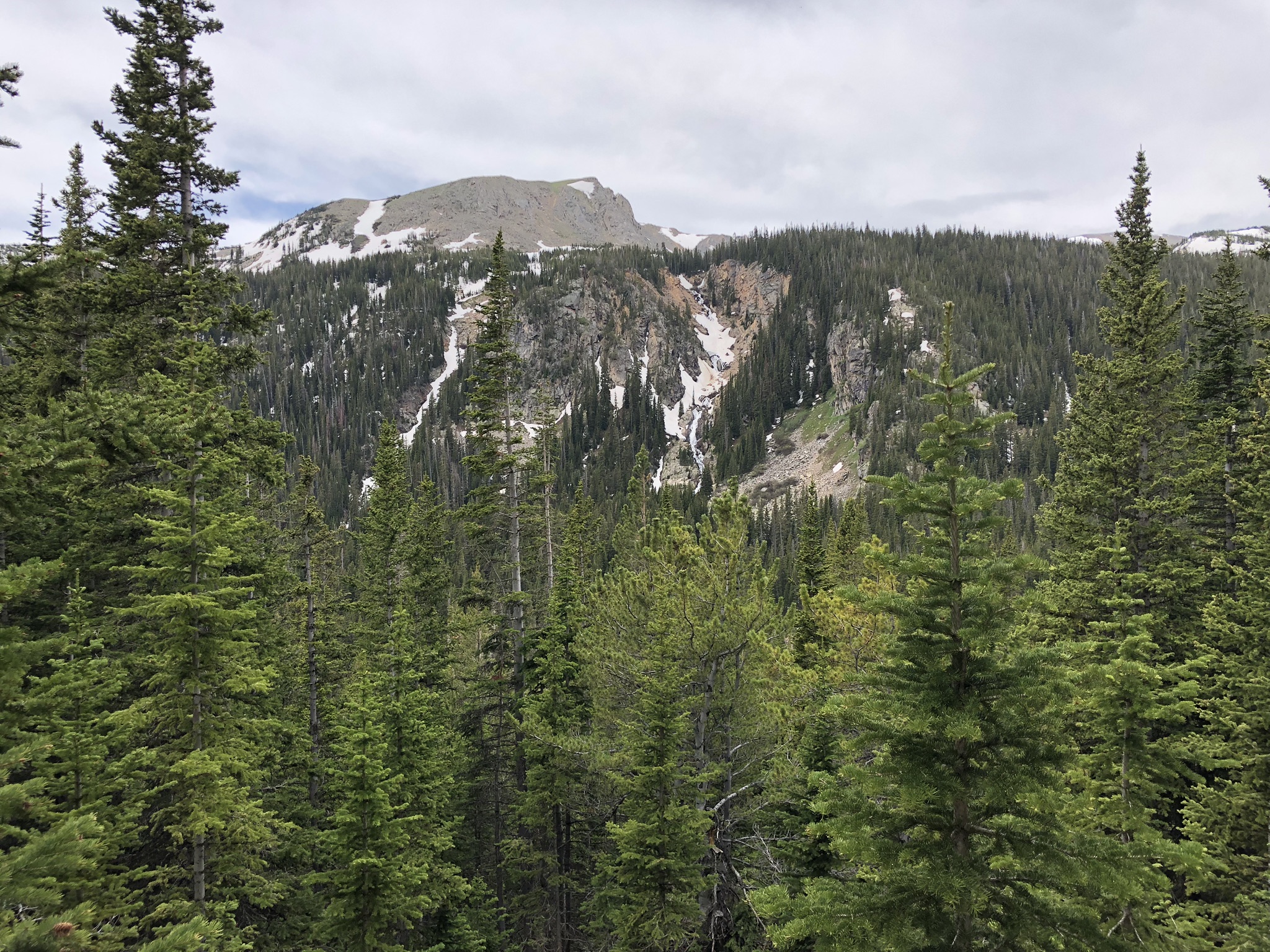
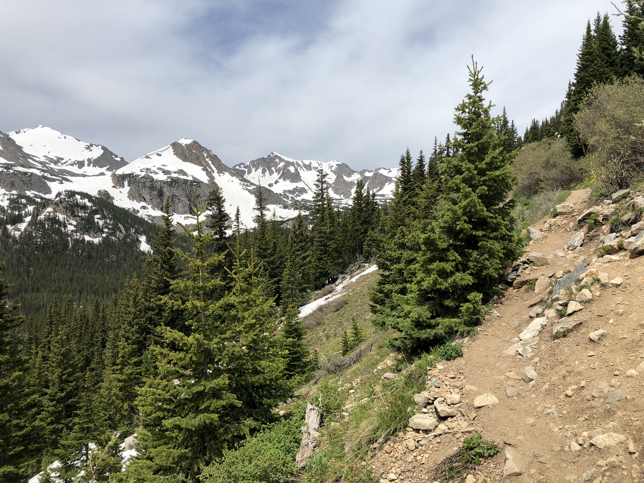
The first one that I reached was the Catamount Outlook, and the views certainly didn’t disappoint! You had a wide view of the surrounding low lying areas, and the taller peaks further in the distance. It was a great place to sit and reflect, but after a couple other groups of people came through, I realized that the crowds were hot on my heels and this wouldn’t be a peaceful place to rest for long. It was time to continue to the next outlook, the Pike’s Peak Outlook.

Viewing the surrounding landscape from the Catamount Outlook
Viewing the surrounding mountains from the Catamount Outlook
Selfie at the Catamount Outlook
Have to get at least one selfie to prove I actually did it!

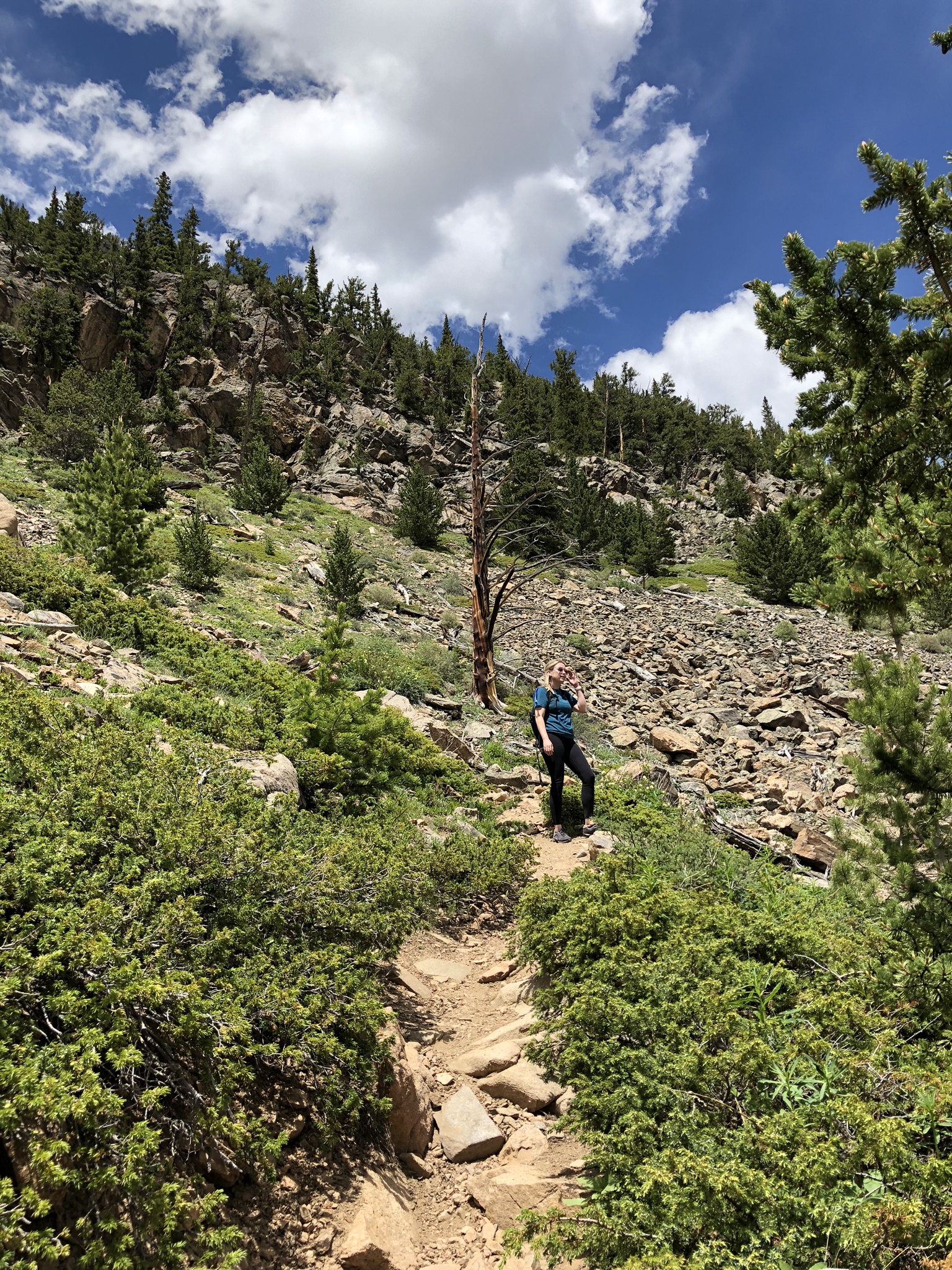
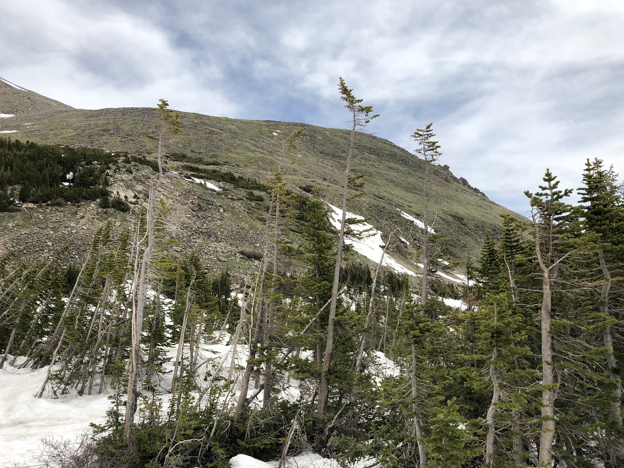
On the way to the next outlook, you’re faced with a choice – you can either go the “technical terrain” route, or take the “bypass”. I’m not one to usually choose the route that takes me closer to the edge of the cliff, but I had to find out what “technical terrain” meant. Was I going to have to rock climb to get there? I could always turn around, so I made my choice to see what this route held in store for me.

Fork in the road where you must choose your path

Honestly, I wouldn’t classify it as technical terrain per se, but I think the sign and the two routes are really there to warn bikers not to go left. Hiking, though, it wasn’t any more difficult than the rest of the trail, just a little closer to the edge and a little more rocky. Since the detour won’t allow you to do the full loop right now, I’d recommend taking one route on the way there, and the other route on the way back like I did. Neither is more challenging than the other, but it offers two different views so the trip back isn’t the exact same.

Example of the technical terrain looking towards the mountains
“Technical Terrain”

The Pike’s Peak Outlook comes into view much the same as the Catamount, emerging on your left side just off the trail. The views from this outlook were just as spectacular, and I took the opportunity to snap a few more pictures of the beautiful landscape in front of me.

View of the surrounding area from the Pike's Peak Outlook
Looking through the trees at the mountains in the distance from the Pike's Peak Outlook
View from the Pike's Peak Outlook

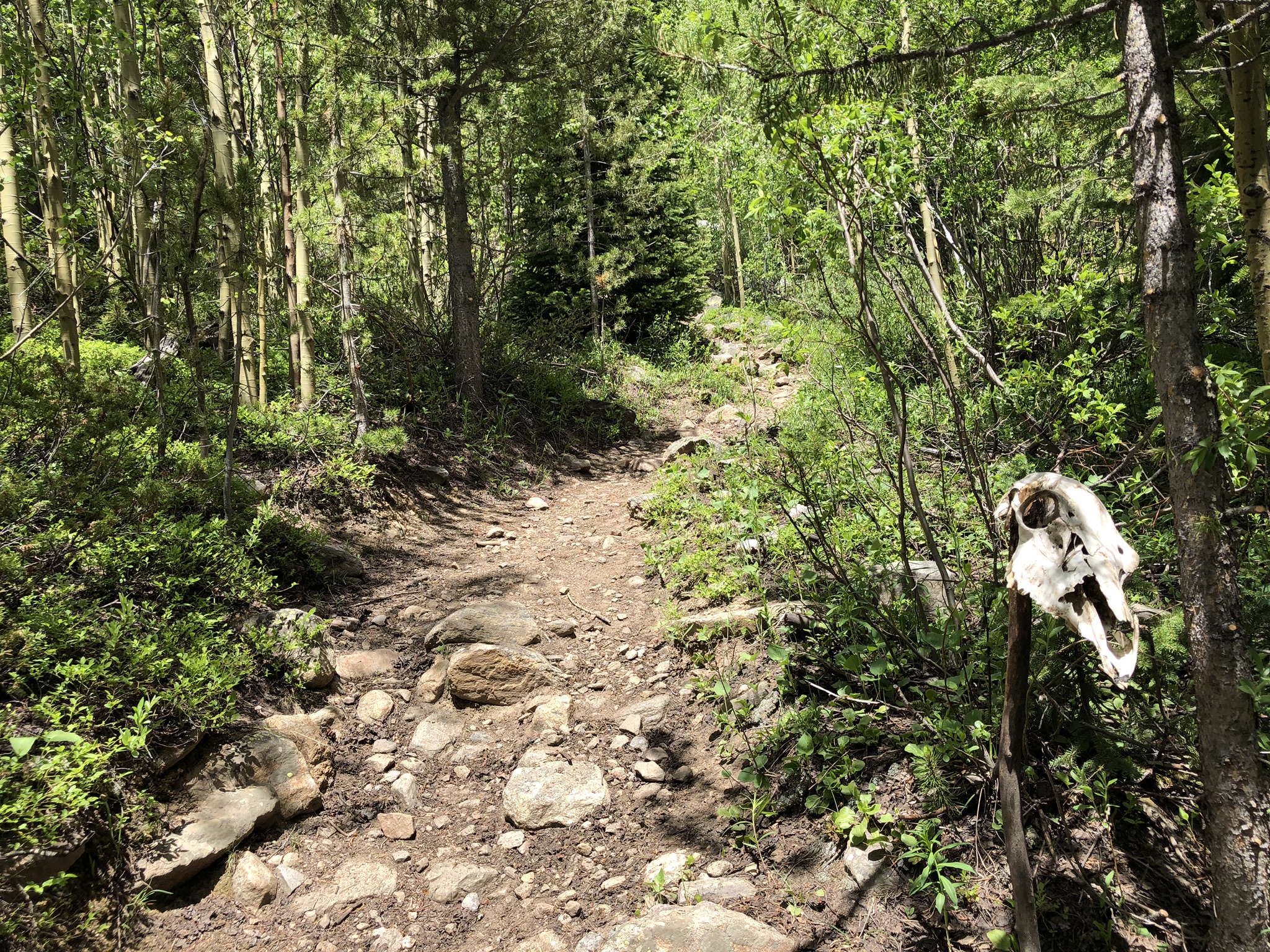
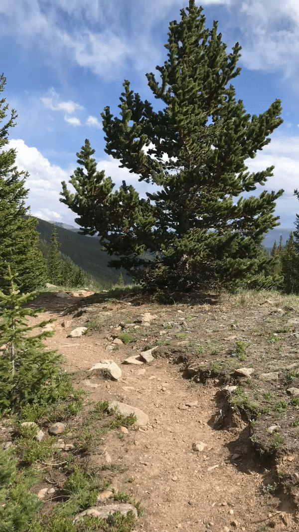
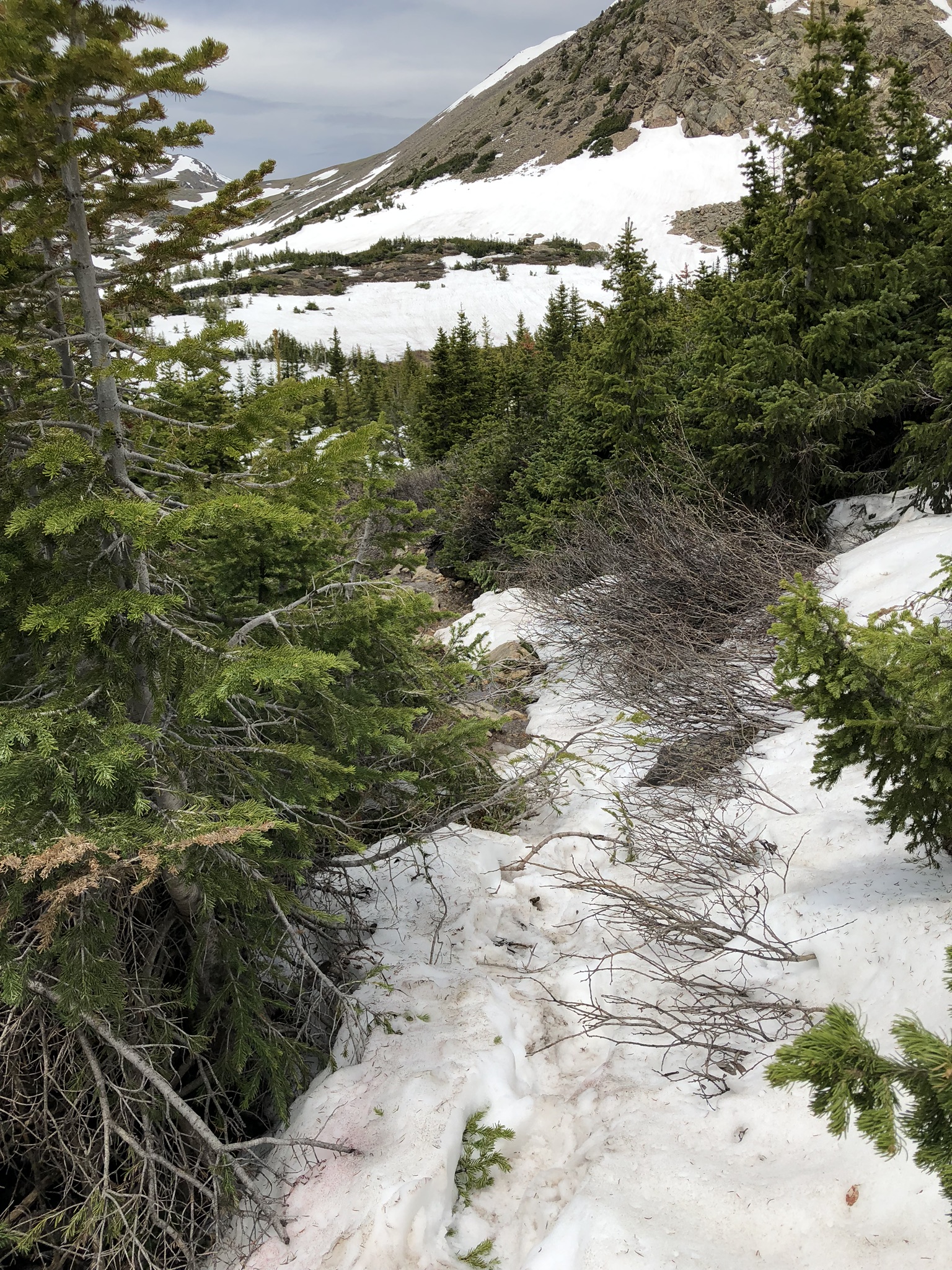
There was one more outlook remaining, the Eagle Cliffs Outlook, and it was a bit more of a trek. The trail was in insanely good shape throughout the entire hike, and it made it very enjoyable. Not having to constantly look down for fear of tripping or twisting an ankle on a rock allows you to look around at the scenery around you for a change.

Forest of pine trees with the sun filtering through

I reached the Eagle Cliffs Outlook, and it was honestly a lot more daunting than the other two. It was a bit of a scramble up to the outlook, and my legs were already feeling tired. I decided that I was okay passing on scrambling up all the way to the top on this one, though I’m sure the views are outstanding as well.

View from the bottom of the Eagle Cliffs Outlook

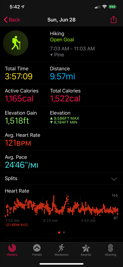
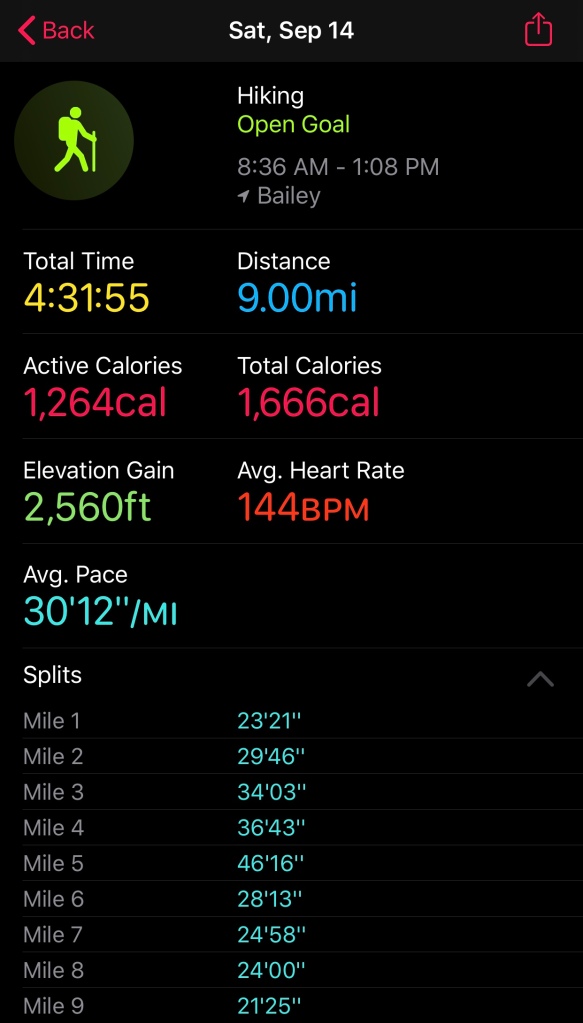
I was 4.7 miles into my journey at this point, and I knew that I had pretty much the same hike ahead of me going back, though at least this direction it was almost all downhill. It was time for me to turn around and start heading back. As soon as I reversed course, I was hit in the face with the heavy traffic that I was warned about, but honestly, with the trail as nice and as wide as it was, it made passing easy and I never minded the people. You may have to pay to get into the state park, but the benefits were obvious all day long.

View heading down a rocky stretch of the Mason Creek Trail, with Mason Creek on my side
Lovely mountain meadow surrounded by pines and aspens

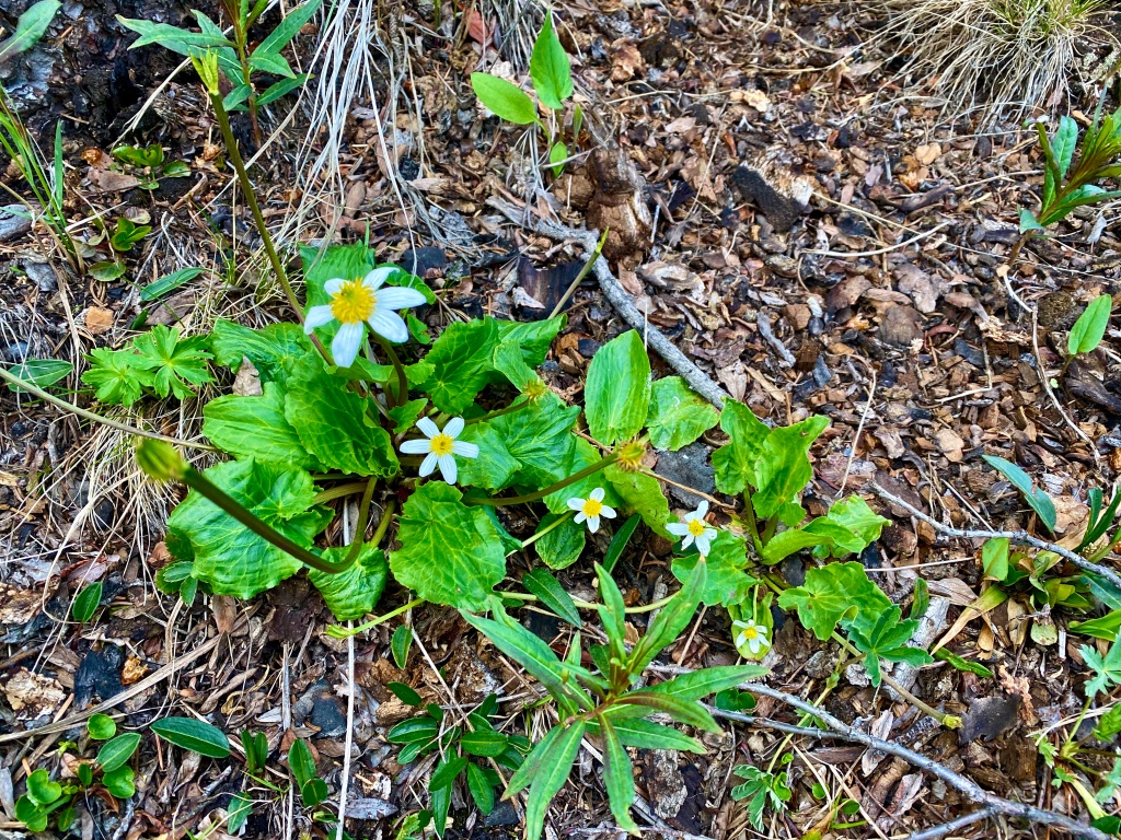
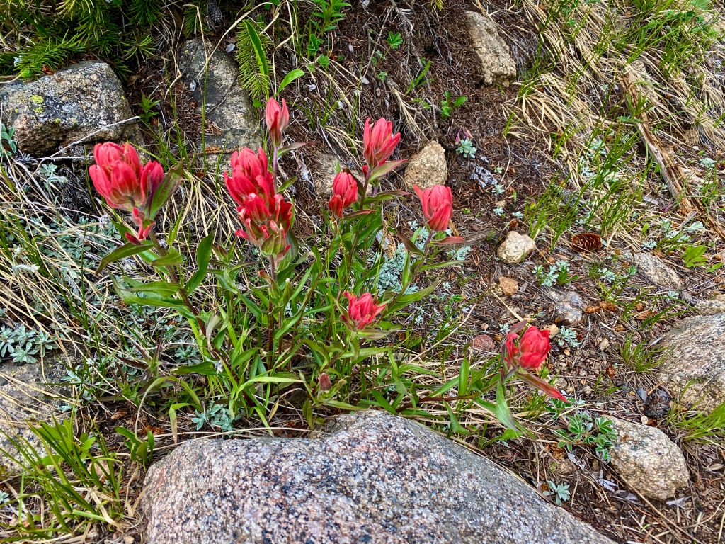
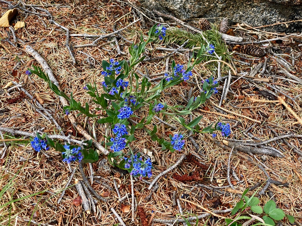
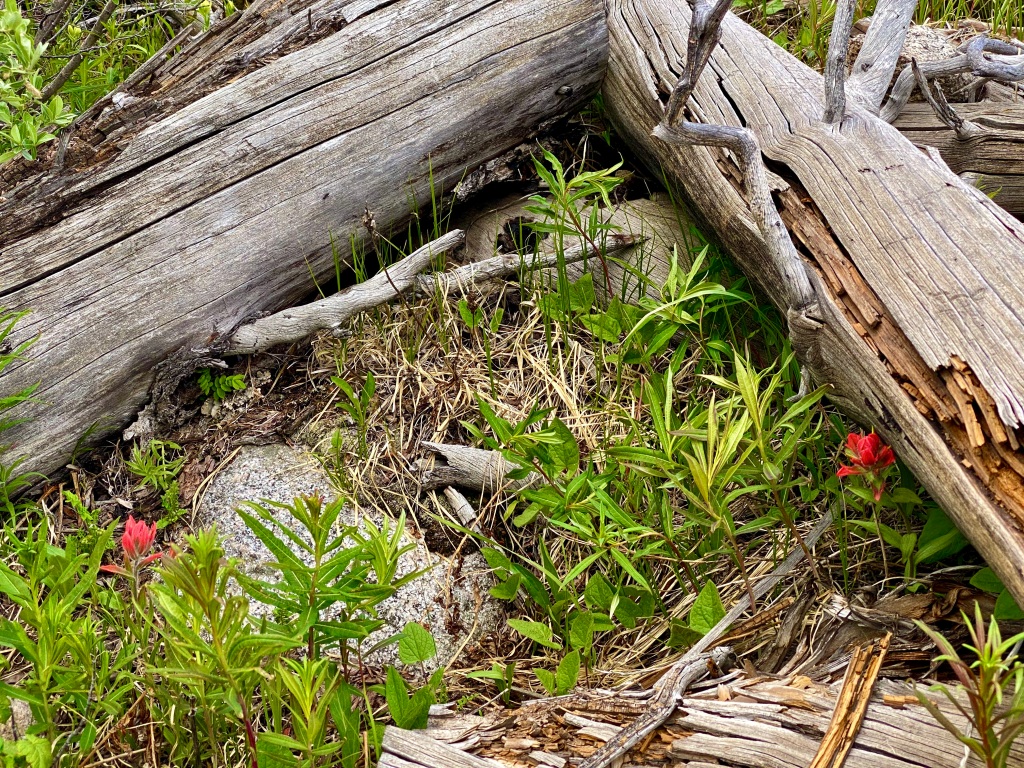
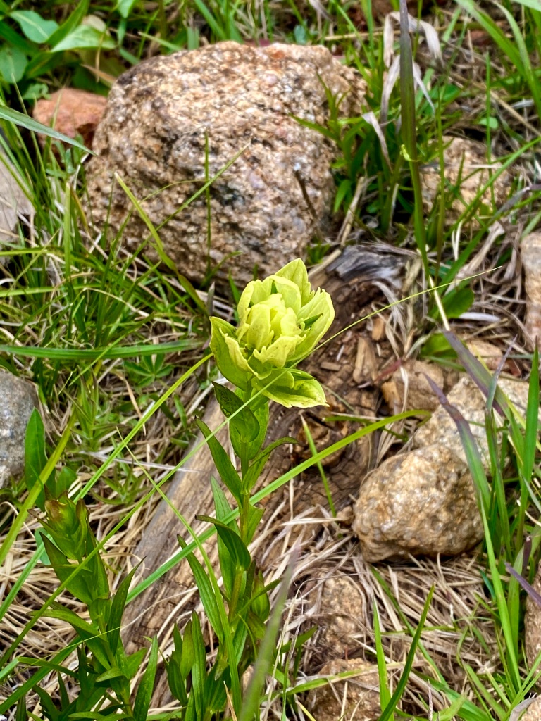
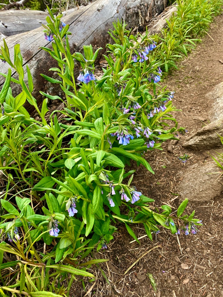
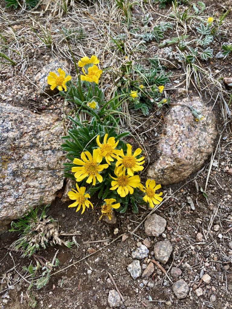
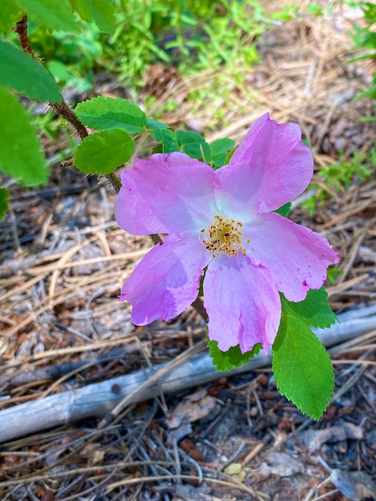
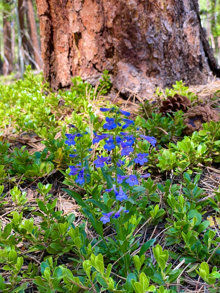
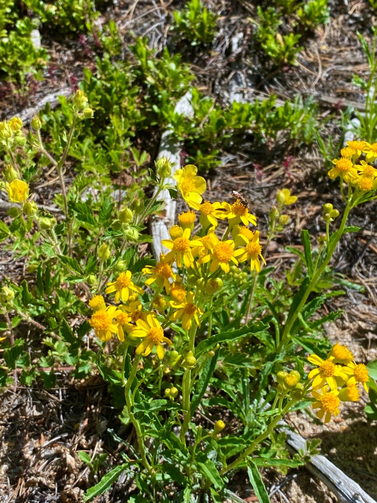
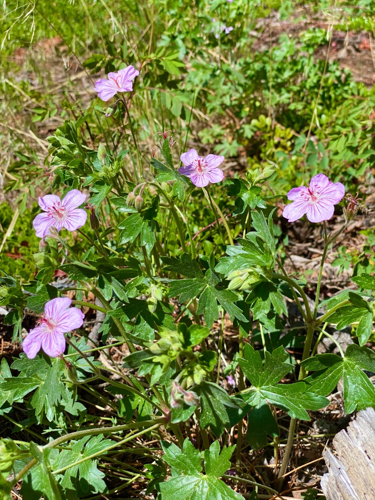
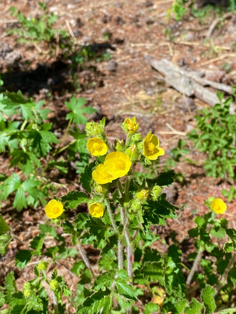
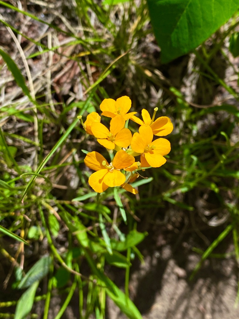
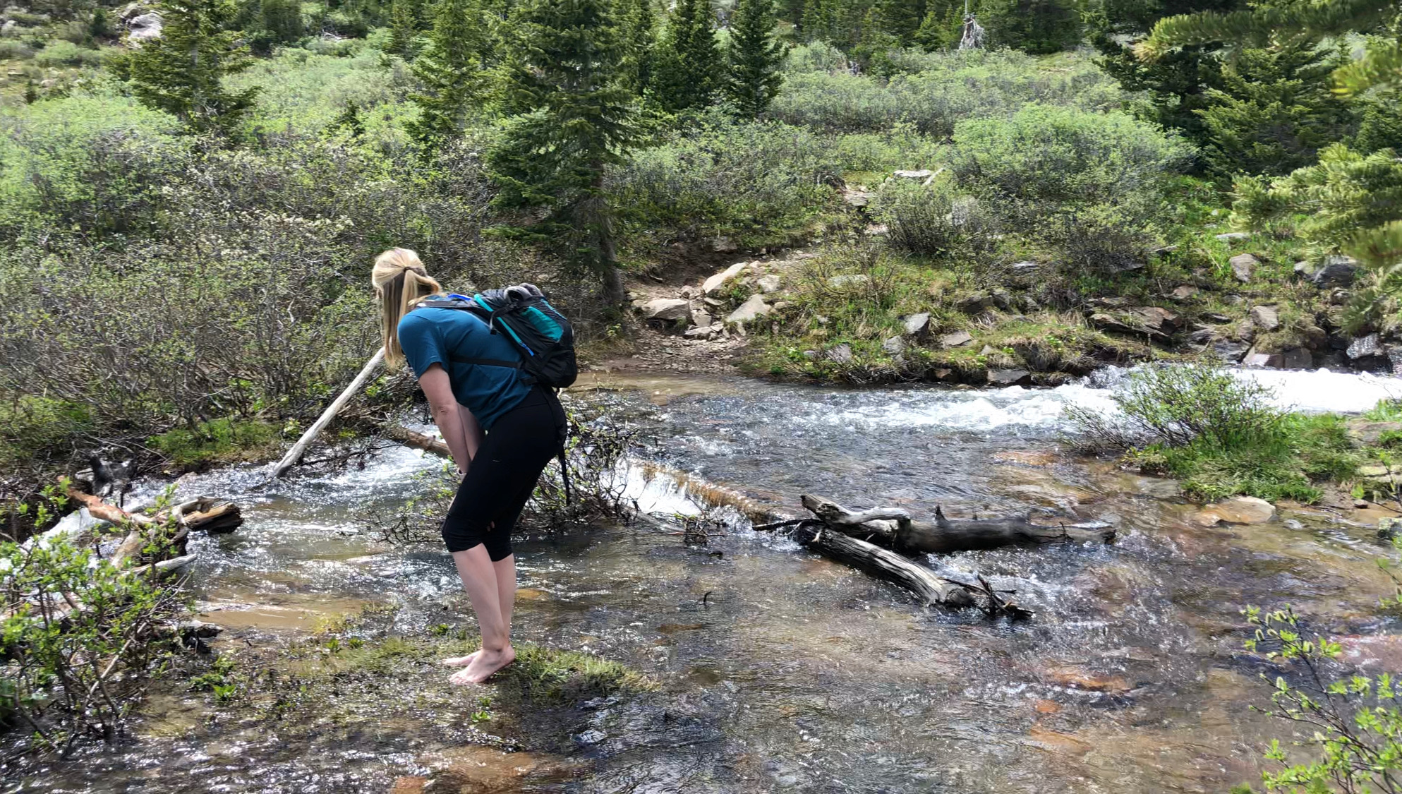
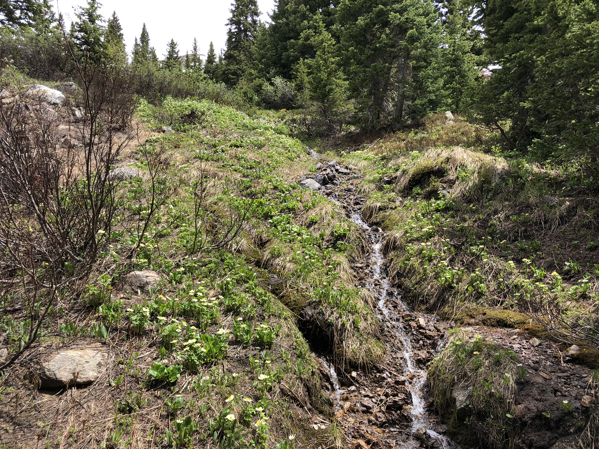
The return trip was fairly uneventful, with group after group of people almost certainly scaring off any more wildlife that might’ve been close to the trail. I enjoyed the wildflowers along the trail and the sounds of the birds chirping, while getting in a good workout. I would highly recommend this trail not only because of the wildlife encounters early in the morning, but also the well-maintained trail and the easily accessed scenic overlooks. Another successful Sunday!

Chicago Lakes Trail – Mt. Evans Wilderness

There are certain hikes that I’ve done over the past couple of years that I’ll remember for a lifetime, and this turned into one of them. It may be because of a particularly impressive view the inspires awe, or potentially an encounter with wildlife that makes me appreciate the beauty around me. This hike would end up having more than one element of a truly unforgettable experience.

I decided on the Chicago Lakes Trail for Sunday’s hike, despite the fact that it was a heavily trafficked trail (something I tend to try to avoid), mostly because I really wanted to do a hike with a mountain lake payoff. Since I knew I needed to beat the crowds, I left the house around 5:30 and arrived at the trailhead at almost exactly 6:30, greeted by quite a few cars in the parking lot – certainly more than I expected arriving that early. There were a few people casting out their lures, but overall, Echo lake was serene and peaceful.

Looking over Echo Lake in the morning towards Mt Evans in Colorado

Still slightly groggy from the early morning and the drive up, I was confident in the trek ahead of me, and my adventure began. The trail was very nice and well defined, following the lake for the first stretch, with signs pointing me in the right direction. It was chilly – about 45 – and I was grateful for the trees surrounding me that offered a little bit of solace from the wind.

Sign marking the trail ahead
Beginning of the Chicago Lakes Trail, where it splits from the Echo Lake Trail
Sunrise over the Rocky Mountains from the trail

The beautiful mountain trail that I was so peacefully enjoying quickly turned into a terrifying ordeal for me, as someone who is absurdly scared of heights, when I was confronted with a narrow, rocky, uneven trail, with a steep drop off on one side.

Steep cliff at the beginning of the Chicago Lakes Trail

I had a lot of time on my hike to think about how to present this part of my hike. I thought about acting like I was perfectly confident and conquered my fears. I thought about acting like I was nervous, but continued to press forward despite my trepidation. The truth is, I turned around and headed back towards my car the first time I got to this part. I decided this wasn’t something I was prepared for, nor something I could do mentally.

As I headed back to the trailhead, I passed a few groups of people that looked like they should be more scared than they were, and it honestly gave me a little bit of confidence. I turned around to actually conquer my fears, only to reach the same exact point and decide a second time that this maybe wasn’t worth it.

It wasn’t until I was heading back a second time and passed a family with a small child that I decided maybe I was a little more scared than I should be. So I turned around once again and started out a third time. As they say, the third time was a charm. I think I was just a little bit more awake and my legs were just a little bit more warmed up, allowing me to navigate through. The sketchy terrain continued for maybe a mile, and there was nowhere to hide as the mountain forced you forward. I kept my head down, looking down at my feet and every step I took, and I eventually made it through. I decided to tell the full story to hopefully inspire someone else to push themselves past their boundaries and conquer their fears. It certainly was a good feeling getting through there though and descending further into the trees, where I felt much more comfortable. I had added probably a mile to my hike that I would come to regret fairly quickly, though.

Looking back at the tricky terrain just crossed, with mountains in the distance.

It’s not often that hikes start off going downhill, but it was nice coming down from the heights into a valley of sorts. There was a small stream to cross and the wind was almost nonexistent, allowing me to finally relax for the first time in a while.

Rocky terrain at the beginning of the Chicago Lakes Trail
Heavily wooded portion at the beginning of the trail

The hike went quickly going downhill and it was no time before I was turning the corner to start heading back up to the first lake. This part was a workout, with a seemingly never ending steady incline. The trail was wide and allowed faster people to pass easily, but this definitely got the heart pumping for me.

View of the steady incline going up to the first lake

In all honesty, reaching this lake was the goal for my hike when I left this house this morning, but there was at least a small part of me that thought maybe I could keep going. Upon reaching the lake, though, I have to say that I was at least a little bit underwhelmed. I think it was the fact that the lake was manmade via a dam, when I envisioned a natural mountain lake. It was still beautiful, don’t get me wrong, and I could see myself returning here for a picnic. You can walk all the way around the lake and find a place all to yourself to relax.

View over the first lake that you reach on the trail
Another view of the mountain lake and surrounding Cliffside's

This wasn’t what I was hoping for, though, and especially after pushing myself through the beginning, I wanted to make this hike count. I knew from my map that it was going to add a lot of mileage to my journey, and my stutter at the beginning had already added enough, but I decided to see what I could do.

Looking back over the first lake towards the dam

As you move past the first lake, you’re greeted with two cabins, and I honestly couldn’t be more jealous of the people that own them. Although a ton of foot traffic passes by their quiet cabins every day, they seemed friendly to the hikers and even had a labyrinth set up to break up the hike.

Labyrinth Instructions along the hike
Looking at the very unique labyrinth set up

I moved passed the two cabins and the incline started yet again. I wasn’t sure how long I could endure this, but as I’ve said before, sometimes I don’t know when to stop when I’m by myself – especially when I know there’s something more to see if I just keep going a little further.

Looking up the trail at the surrounding cliffs

The views were spectacular as I climbed higher and higher, alternating between wooded forest with stream crossings, and open meadows that offered wide panoramas of the surrounding mountains.

Steam crossing on the Chicago Lakes Trail
Sign depicting your entrance into the Mt. Evans wilderness area
Panoramic view of the trail and the surrounding mountains
View of the. meadow and surrounding mountains
Panoramic view of Mt. Evans and surrounding peaks

I couldn’t believe that I had pushed myself so far, but I finally reached the second lake after what seemed like an eternity of steady incline, and I was glad that I did. This was the payoff that I was looking for! There was the natural mountain lake that I set out to find, fed by the still melting snow, that gave way to the sheer cliffs of the peaks all around. I felt such a sense of awe at the scene around me that I found a large rock upon which I could sit to take it all in for a while. It was really cold at this point, probably in the low 40s with a strong wind and no protection around, but I sat on that rock for about 20 minutes taking in the scene. It was truly incredible.

View of the meadow in front of the second lake on the trail
Selfie in front of the lake and the mountains
Panoramic view of the second lake, Mt. Evans, and surrounding cliffs
Another shot of the taller mountains surrounding me

There was at least a little part of me again that wanted to keep going to the next lake, but my ankles and knees were hurting already and I hadn’t even started the trek back yet. I knew it was time to turn around and hope that I could actually make it. I hadn’t done a hike this long in a really long time and was again kicking myself for adding an extra mile.

I’m glad that I headed back when I did though, because I timed it perfectly for running into a couple of moose right off the trail! This is what I hope for every time I go out, and they were right there, so close to us. I felt so lucky to have this encounter.

Two moose grazing in a mountain meadow with cliffs behind
Lots of moose footage in the video below!!

It was hard to pull myself away, but after watching them for probably 10-15 minutes, they started to walk away and so did I, continuing on down the trail.

Giant boulder next to the hiking trail

It seemed so long ago already, but when I reached the part that was the descent at the beginning, suddenly I was faced with a steep final climb back to the trailhead. This time, though, there was a steady stream of traffic coming the other way, and the two way traffic on such a narrow trail made the steep cliffs even worse. My legs were wobbly now too, which also didn’t help.

Rocky incline back to the trailhead and parking lot

Somehow I eventually made it back to the trailhead, and honestly felt better than I would’ve expected after such a long hike. Maybe I should’ve kept going to the last lake! Next time..

This was another classic example of me thinking that the parking lot was full when I arrived, but was then greeted by more people than I could’ve ever imagined. Echo Lake is apparently pretty popular for picnics and fishing, and there were cars all up and down the road when I got back. I was thankful for being able to enjoy the calm of the lake when I was heading up, and was happy to get out of there quickly on my way out, to let someone else have my spot.

Shot of the parking completely full, including along the road

Anytime I see moose, the trail is going to rate at the top of my list, but I truly think this was one of the best trails I’ve been on in Colorado. I would highly recommend it, but just make sure you go to the second lake at least!

Traversing the Twin Sisters Peak

Having the ability to escape to the mountains in less than an hour is one of the main reasons that we moved to Colorado, and the current pandemic has made us appreciate that quick escape even more. I personally can’t imagine being stuck in a place where there isn’t nature around to explore during these times, where the feeling of being cooped up is amplified. The playground that is the Rocky Mountains offers endless socially distanced adventures, and I’m certainly grateful for the beautiful state we now call home.

As I scanned the AllTrails map on Friday, the goal for my hike this weekend was fairly specific in what I was looking for, but not necessarily specific about where. I wanted to find a lightly trafficked trail that offered good views of the front range, a challenging hike, all while avoiding the trails still covered in snow this early into the summer. Given my affinity for the Nederland/Boulder area, it’s not surprising that I found what I was looking for not that far from where we were last weekend. I promise I tried to look elsewhere!

View of the mountains before me driving to the trailhead

I woke up and gathered the necessities as quickly as I could, packed up, and set out, arriving at the trailhead just before 8am. There were maybe 10 cars in the parking lot and plenty of open parking spots, which was something I was grateful for, and was glad that I set out as early as I had. From the parking lot, you are presented with a beautiful vista of Gross Reservoir below, and I immediately wanted to go towards it. It probably didn’t help that the only other people I saw setting out for the day were taking the trail going towards it.

View of the trailhead parking lot early in the morning
Panoramic view of the lake, trails, and picnic areas

I didn’t make it too far before realizing that I was already off the trail I intended to be on and hadn’t paid close enough attention to the map. Despite going the wrong direction, it wasn’t a total loss, as it afforded me some pictures of the lake and gave me an idea of what the trail down was like.

Trail heading down to Gross Reservoir
View of Gross Reservoir from the trail

I hiked back up to the parking and realized the trail that I actually wanted went beyond the restrooms, more or less along the road. I set out for the second time, glad that it was early and not too hot, and walked past several fairly private picnic tables that all had gorgeous views of the lake.

Sign warning of hiking in bear and moose country

I didn’t take a picture (for obvious reasons), but, about a half mile in, I passed a deer leg that had clearly been eaten by something, reminding me that there are in fact large predators in the mountains – something I take for granted all too often on our hikes. It wasn’t long, though, until I was walking along a dirt road that was, in fact, the trail, which allowed me to relax a little. It felt like deja vu from the hike last week, although it was significantly more “interesting” from the standpoint that it wasn’t a perfectly flat road. I guess it made me feel like I was hiking a little bit still, even though I was clearly on a road.

Sign warning against trying to drive standard vehicles down the path
“No soccer mom SUVs” Definitely true!!
Rocky terrain heading up the trail
I don’t think the Subby would do too well on this, and this wasn’t even the worst of it

Once again, I passed my turn off, but realized quickly yet again that I was going the wrong direction, turned around, and got back on my way. With all the private property on either side of the road, I was expecting something more well defined for the trailhead turn off, but it was just a gap in a fence. The trail quickly narrowed and steepened slightly. After this point, I didn’t see a single other person until I was at the top. I never saw any wildlife other than birds and chipmunks, but I certainly was keeping an eye out after my grisly discovery earlier, and I kept thinking to myself that I wish I wasn’t hiking alone. The trail was very narrow in spots and the trees thick on either side, adding to the feeling that I wasn’t in my natural terrain anymore.

Turnoff from road to the Twin Sisters trail
This is me coming back to the turnoff for the trail. It’ll normally be on your right and you just scoot through the fence to continue on your way!
Heavily wooded hiking trail with pine trees
Narrow hiking trail through trees
Imagine me scanning for bears and mountain lions through this!
Rocky hiking trail to the Twin Sisters peak
View of mountains in the distance from the trail

It did eventually open up into a magnificent meadow, filled with wildflowers, aspens, and pines. The wind was whipping through the trees at a decent pace today, and the leaves of the aspens let you know it.

Looking back down the trail over the meadow just crossed
Pine trees and aspens coming together in one forest
Pine trees on the left giving way to an Aspen grove on the right. I thought it made for a cool picture!
Don’t miss the turnoff when you see this pile of rocks. It’s hard to see to the left, and easy to keep going past the Twin Sisters peak.

It was a fairly gradual climb to the top once you turn off the road and it made for a good workout on the legs. I reached the top and had the place all to myself. It felt like I was the only one taking the trail today and the mountain was mine to enjoy. I took several pictures and videos, which don’t really do it justice due to my irrationally strong fear of heights, but it was an amazing feel standing on top, looking out over the mountains in the distance, with the wind blowing harder than ever.

View of snow topped mountains in the distance
From the top of the mountain looking out over the lower lying areas
If you can’t tell, that’s a cliff… I know it looks like I’m a long ways away from the edge, but I wasn’t about to get any closer!
A slightly different view from the top with mountain in the distance.
Another drop off on the other side of these rocks too. Maybe one day I won’t be so scared to go look over the edge..
Selfie at the top of the mountain with the peaks behind me
Trying to not look nervous with my back to the cliff and the wind blowing!

I spent maybe 20 minutes sitting on a rock at the top (sufficiently away from the edge), enjoying the sounds all around me and rehydrating, before the people started to show up. Apparently I wasn’t the only one to take the trail today, but it appeared that I was perhaps the first. I was thankful for the time and solitude that I was able to enjoy on top, but it was time to start heading back down. That’s when I realized that this was far from a “lightly trafficked” trail, as AllTrails had indicated. I started running into groups of people what seemed like around every turn. After not seeing anyone else on the way up, I saw probably 10-15 groups of people on my way down. It made me wonder if it would even be worth it at top with all of those people crawling the rocks all around you. I’m sure it would be, but still wouldn’t be the same as it was being up there alone. This made me even more thankful for the peace and quiet I was able to enjoy.

Mountain bike ramp heading down the trail over some logs
I guess people mountain bike this trail? I can’t imagine riding up, but maybe if you walked it over the more rough parts.

Once I got back to the dirt “road”, I started to run into large off-road rigs taking the OHV trail and determined that it probably wasn’t initially designed for both hikers and those kinds of vehicles. I had to step off the road to let them pass a couple of times, and it made me nervous every time I heard someone coming up around a corner that they would be going too fast to see me.

Scenic view perched above Gross Reservoir
Once last lake picture on my hike back!

I made it back to the parking lot around 11:30, and realized just how good of a decision I had made arriving as early as I had. I didn’t even know you could park on the other side of the parking lot, but now both sides were completely full, and there was a sheriff at the entrance to the parking lot turning people away. It became apparent that this parking lot was popular for folks hiking down to enjoy the lake, many with kayaks in tow. I would highly recommend arriving as early as I did.

Full parking lot at Gross Reservoir trailhead

All in all, I would definitely do this hike again, but would absolutely keep in mind to arrive early to avoid the crowds, find a parking spot, and not have to dodge cars. I honestly just wish so much of it wasn’t on a dirt road, but I’m starting to discover that that’s a thing.. Once I took the turn-off, it was an incredibly rewarding hike and rates highly for views and solitude. We’re going to have to come back and check out the lake next time too – I never did get any closer than I did taking the wrong trail at the beginning.

Summiting Bald Mountain Near Boulder

As a result of a very long series of events, we didn’t end up making it to the mountains to hike for Carly’s birthday last weekend, forcing us to reschedule to this weekend. Going for a hike for our birthdays has become somewhat of a tradition the past few years and it was better late than never! I already had the hike picked out, so it made it easy to decide where we were heading – the Sugarloaf Mountain trailhead near Boulder. Only we weren’t there for Sugarloaf Mountain. Although I’m sure we’ll return someday to tackle that magical sounding mountain, our sights were set a little further to Bald Mountain. This is not to be confused with my failed attempt at Old Baldy last year (I still plan on going back and conquering that one!) I chose this hike because this part of the state, near Nederland and Boulder, is one of my favorite parts of the state to hike because I usually see some sort of wildlife and every hike has offered a challenge, with spectacular views as the payoff. The perfect combination if you ask me.

We arrived at the trailhead a little after 10am on Saturday, and I’d be lying if I said I wasn’t at least a little concerned that there would be no parking that close to Boulder on such a nice day. There were maybe 10-15 cars there, and there were already people making their own spots amongst the trees. We were lucky, though, and someone left a more “designated” parking spot right when we were wondering what to do. It’s nice when things work out like that.

As I mentioned before, there are two trails from this same trailhead, Sugarloaf Mountain, which was much shorter, and Bald Mountain that was about 5 miles. Since this was actually the first time we’ve been up to the mountains hiking this year, we decided we better make the most of it and go for the longer one, and just hoped that the rain we could see all around us would hold off.

The first part of the trail wasn’t exactly promising, and we had to stop and ask people if we were even going the right direction. The cars driving down the road didn’t give us much hope either, but we pressed onward, and despite the less than stellar “trail” situation, the views were still spectacular

We eventually realized that we missed the first turn-off for the trail, which would take you around the loop counterclockwise and the way the arrows pointed on AllTrails, but we did find the second turn off that took us clockwise. Looking back, I wish we would’ve seen the first turnoff, because this direction seemed like it was much more difficult.

There were cars at the bottom of the turnoff for the trailhead going this direction, which made it easier to spot.
Starting to get steep!

The route was steep, with many rocks and loose dirt to make the risk of slipping that much higher. Looking at the pictures, it doesn’t really give it justice. We also realized (again, after the fact) that we went off the trail for a little bit, taking a shortcut which proved to be the steepest part. It would’ve been easier to stay on the correct trail if we were going around the loop in the correct direction, but again, lessons learned for next time!

Up and up we go!

We reached what we thought had to be the top of the mountain because of how steep the climb had just been, and how spectacular the views were!

Like everything else up to this point, we were also wrong about this being the top of the mountain, and continued upward. The wildflowers continued to amaze throughout our entire journey, adding that extra sparkle of beauty to an already magnificent hike. As always, at a certain point, I have to let the pictures do the talking for me, otherwise I could go on and on!

Had to stop for a quick selfie, of course!
It just kept getting better and better the further up we went!

We did finally make it to what was actually the top of the mountain, and let me tell you, the payoff at the top was worth the hard climb! We didn’t see another hiker the entire time, and could’ve spent all day at the top in the solitude, listening to the chirps of the few birds that were around us up there.

As any seasoned hiker can tell you, the worst part of any hike is coming back down. That was certainly true of this one, where the descent was almost as steep as our climb. It made every single step treacherous, and we took the tiniest steps we could as we made our way down, just hoping that our knees didn’t give out on us. As you can imagine, I wasn’t taking pictures during the worst of it, but hopefully these pictures do it a little bit of justice.

Despite there being a few spots where the steepness of the terrain made us slightly uncomfortable, it was still one of our favorite hikes we’ve been. Between the wildflowers and the spectacular views, it was everything we could hope for, and I could definitely see us coming back to do this hike again or to tackle the Sugarloaf Mountain peak. There may have been more people on that trail, but we didn’t see a single other hiker on our trail the entire time, except for right at the beginning when we asked for directions. That’s hard to achieve this close to Boulder. We found the only problem with doing a really long hike during a pandemic, though, is not being able to stop at a restaurant at the bottom for a beer! Time to start planning the next adventure!!

Trekking the Tanglewood Trail

This is another post that’s overdue, as this adventure was on September 14.

As can be said about so many other of my adventures, I had grand intentions when I set out this morning. This is especially true of my solo hikes, and this was one such hike. For some reason, going it alone gives me extra determination to really explore my boundaries and capabilities. I set out to climb the 13er, Rosalie Peak, which tops out at 13,575 feet, though my goal was more modest, as I just wanted to get above 13,000 feet at a minimum.

The trail I would take is the Tanglewood trail, with the trailhead sitting near the Mount Evans wilderness area, just northwest of Bailey. I arrived at 8:30am, which was plenty early with the generous parking available and very few visitors today. The road in was a little bumpy, which may explain the lack of people a bit, but this was still unusual for almost any trailhead this near to Denver. A review I read called this something like “one of the most secluded hikes I’ve ever been in on Colorado”. It already was shaping up that way.

The hike through the trees was a very steady incline, which was a fun challenge at first, but after a few miles of no flat spots to catch your breath, it becomes exhausting. I didn’t even notice how tired I was, though, because of the incredible beauty of the forest on this trail. There was everything you could ask for! Flowing creeks, beautiful wildflowers, towering pines, and even a woodpecker!

It was quite a journey before I finally emerged from the trees to a breathtaking view of the front range.

The journey to the top of Rosalie Peak was just beginning though, and I was starting to question if I was going to make it all the way. I was about 2 miles in, but had climbed over 1000 feet already. My legs were tired and I had another 3 miles and 2000 feet to go to meet my minimum. This was one of those times where I get crazy ideas by myself and just keep pushing. Onward it was.

Even though the trek was grueling at this point, the views kept getting better and better, and I just had to see what was at the top..

On my left as I came up the trail to the saddle was what I believe to be Rosalie Peak, but there were no trail markers or discernible trails going up. Maybe there was a trail and my mind just didn’t want me to see it so I would turn around. At this point I had hiked approximately 4 miles, gained 2,600 feet of elevation, though I was a few feet shy of only 12,000. I was well short of my goal of 13,000 feet, but I achieved the goal of finding my limit.

I placed a celebratory rock on the marker at the top of the saddle and turned to head back home, completely satisfied with my journey. Maybe next year I’ll find that trail up Rosalie Peak and keep pressing on to see what’s up there..

All in all, it was one of the best adventures I’ve had in Colorado, as well as being one of the more beautiful and challenging hikes. There was a hiccup on my alltrails track near the beginning of the recording, but you can see from my watch data that it was 9 miles and nearly 2,600 feet of elevation gain. Not bad!

Snowshoeing in Rocky Mountain National Park

This post has been over a year in the making, but alas I just hadn’t got around to it. This hike was on December 14, 2018.

For months, my brother, Matt, and I discussed the possibility of him flying to Denver from Houston for a short vacation before the holidays. As soon as he booked his plane ticket for a long weekend in Colorado, though, we pretty much had decided that we needed to go snowshoeing.

In 2017, Carly and I attempted, unsuccessfully, to go snowshoeing, with the main reason we failed being lack of snow. Even though we had some good snow in the mountains leading up to his visit, I knew we were probably going to have to go pretty deep in the mountains and to a fairly high elevation to have enough snow to need snowshoes. Hiking in the winter in the mountains sounded fun enough, but we really wanted to get deep enough snow to justify needing the snowshoes.

After a little research and discussion, we all decided that Rocky Mountain National Park was going to be our best bet, because it was at a higher elevation and through our research found that people had used snowshoes there in the last week. Through a little research on AllTrails, we thought that the Glacier Gorge Trail to Loch Lake was going to be a challenge, but a fun one that let us experience all of RMNP.

None of us really had true winter boots per se, but we did have waterproof hiking boots that we thought would work, and we rented the snowshoes and poles from Christy’s on our way up. The drive through Estes Park to the entrance of the park is incredible, but the beauty once inside the party is indescribable. You truly feel a sense of awe being surrounded by the snow capped peaks and endless forest. Once we decided how to strap our poles to our backpacks, we were off to explore the wilderness in front of us!

At the trailhead! We didn’t know what we were in for yet.

Starting out, there was snow on the ground, but it was more or less just a thin layer of really packed snow that didn’t exactly warrant snowshoes. The boots we had were perfect for this, and at times, we were a bit overdressed, battling getting hot and sweating. A lesson I should’ve learned from snowboarding..

It still wasn’t deep enough to need the snowshoes, but it was warm enough and sunny enough to make the packed snow fairly slippery. The poles definitely came in handy when traversing those stretches.

Eventually though, we did get to a point where the snow was too deep to walk in just our boots, so we had to strap on the snowshoes. Admittedly, once I had them on, I may have been intentionally walking in the deepest snow I could find just to try them out.

We were quite a way into our journey when we ran into a group of guys that were ice climbing. I had never seen people doing this in real life, and only envisioned it in the most extreme of places – like climbing Mount Everest – and had never considered that people would go out and do this for fun. Seeing them with their ice picks and spikes on their boots made me want to try it, though. One day…

Shortly after leaving the ice climbers to their craft, we arrived at our destination of Loch Lake. There were times along the way that I wasn’t sure we were going to make it, but it was a triumphant feeling making it to the top and taking in the scene. It was a bit eerie being in such a cold, remote place, all by ourselves, with nothing to hear but the wind through the pines. It was peaceful, but knowing that you were standing in the middle of a frozen lake with nobody to save you if something went wrong was unsettling at the same time.

For the record, our low-top, summer hiking boots were not the proper footwear for hours of hiking in the snow. They worked for a time, but by the end, our feet were soaked and cold. So a word of caution to make sure you set out with actual winter boots if you plan on being out there for any substantial amount of time!

I’ll let the video do the talking for the rest of the journey!

We stopped by Bear Lake near the trail head for a few quick picks out on the ice before we made the journey back home to Denver.

We haven’t made it out snowshoeing yet this year, but hiking in the snow is something that I enjoyed a lot more than I thought I would. Until next time!!

Shelf Lake Trail

We were lucky that our campsite this year was extremely close to the trailhead for Shelf Lake. Once we had set up a few of the essentials at camp, we set out on our hike. It was an absolutely perfect day, and it didn’t seem like the trail was too busy.

Parking at the trailhead itself. There wasn’t too many cars here today.

The trail began in the thick of the forest, with quite a few switchbacks to make for a steep start. It definitely got our heart rate going and made sure we were warmed up for the rest of the hike.

Ominous sign of what’s to come…

As is the story all over the higher elevations of Colorado right now, there’s a lot of snowmelt coming down the mountain, creating numerous streams and waterfalls that must be crossed.

Not too sure about this one…

I kept having the thought that this must be the most serene and peaceful hike that I’ve been on in Colorado. Starting out in the middle of the forest, surrounded by nothing but trees and the sound of rushing water, it felt like we were all alone in the wilderness. For the most part, we actually were, which was a welcome change from the normally bustling trails we hike in the foothills. The trail certainly wasn’t easy though, as it continued to be steep and rocky.

We finally came to a clearing at the top of a steep section, where you could look back towards where we had come from. The bottom of the valley is where Geneva Creek and our campsite are. We knew it had been steep, but it was still incredible to see how far we had climbed. This was one of the best vantage points of the day.

Once we got out of the switchbacks of the beginning, it actually felt like we were starting to make some progress towards our ultimate goal. The scenery continued to impress.

Grouping of trees growing together in the form of one huge tree. Never seen something quite like this!

There’s not much I can say that the pictures don’t say for themselves. Absolutely incredible hike!

Unfortunately, the summer snow we received in the higher elevations proved to be an impassable object once again. We reached a river that required us to take our shoes off to cross. The problem was that we needed to cross at the widest point and the water had just been snow earlier that day. Even a few steps in the near freezing water produced such a sharp, deep pain that it was just too much.

We searched for alternate routes around the water, but there just wasn’t anything that was workable. We also heard from a couple other guys coming down that even if we were able to cross the river, there was too much snow before the lake to make it anyways. We were tired and knew we had more to do back at camp, so we turned around and headed back down. I have no doubt that we’ll be back to finish this hike once the snow melts more.

I would highly recommend this hike here in a month or so, and I’ll be sure to post an update once we make it all the way to Shelf Lake!!

Camping with the Kellers in Colorado

Although we were able to procure most of the necessary camping gear last year, we only ended up going camping one time, mainly due to the lack of sleeping bags. We knew that any camping trip this year was going to require this investment, in order to keep us warm throughout the night. We spent Friday searching around for the best bang for our buck, and came home with a couple quality bags. We officially added the last piece of necessary gear to our camping set. Of course, there’s always more to get though…

As you’ll recall, we ended up stumbling upon our campsite last year due to our initial plan being shut down by a closed Guanella Pass. Since going, we’ve done a bit more research on that road (Geneva Creek Road) and discovered that there are a few really interesting trails that come off from it, Shelf Lake Trail and the Iron Fens. As our camping spot last year was close to perfect and because there was so much more to explore, we decided to head back there this year for our camping trip, and to complete at least one of these two hikes.

Absolutely perfect day for hiking and camping in the Rocky Mountains!
With all of the snow this last winter, Geneva Creek was raging

Realizing that it was Fourth of July weekend, we knew that there was going to be more people at the campsites than there was the last time we went, but upon arriving to the the Geneva Creek Road campsites, we quickly realized that we had underestimated the number of people that knew about this spot. Luckily we have a vehicle that could make it down the rougher parts of the road, and we just kept going thinking we’d find something. Unfortunately, we reached the end of the road and literally every single spot was full.

After turning around at the end of the road… It gets pretty rough by the end of it

On our way down the road, though, we passed a couple that was packing up from the night before, so we turned around and were thankfully able to snag their spot. I’m not sure what we would have done if they hadn’t left. This particular site was maybe a half mile further down the road from our spot last year, but it worked out perfectly because it was the second closest site to the Shelf Lake trailhead. We set up the tent and a unpacked a few other basic campsite essentials (cold beer).

More green this year and just as beautiful of a view!
Cold as the Rockies

Once we had the basics done at the campsite, it was time to change and head out on our long hike to Shelf Lake.

After we were nice and worn out from our hike, it was time to build the fire and set up the rest of the campsite. We wanted to make sure it was burning long before it got too cold and also to get a nice bed of coals to cook on. We weren’t blessed with much firewood at our campsite like last time, likely the result of weeks of campers before us, and the wood we brought was too big to get it started, so the two of us ventured into the forest to collect what we could find on the ground. Once we had gathered enough, Carly was able to take over and get the fire going when the wind proved too challenging for my fire-making skills. I did successfully manager to throw sticks on once it was going to make it even bigger, though.

All of that hiking and fire making had left us quite hungry, so it was time to prepare our dinner for the night. As is tradition, we brought supplies to make Carly’s foil dinners; however, utilizing the first green bell pepper from Carly’s garden made these foil dinners even more special than normal!

We had a visitor walk past our camp while we were cooking. I happened to spot the big deer out of the corner of my eye as he crossed over the road. It was a little dark and he was hard to see, but Carly tracked him down into the forest and manager to snap a picture.

He’s hard to see, but I promise he’s there!

We were so tired from all of the day’s activities and it started to get really cold, so we ate dinner and headed into the tent to get some rest. We were both hoping and praying that we had made good decisions on our sleeping bags, and that we would be warm this night.

Even though Carly was still a little cold and I was a little uncomfortable, we were both able to sleep through until the morning, only waking up once to a burst of wind, so I would say that our sleeping bags were a success. All in all, I would say our second camping trip was even more outstanding than our first, but the thing is, there’s still so much to explore in this area. We didn’t make it to the Iron Fens and on our way out, we noticed the South Park trail crosses to the other side of Geneva Creek. I think it’s safe to say that we’ll be back very soon. Until then…

First Attempt at Old Baldy

My goal for the hike this weekend was to really test myself, not only physically, but also mentally, as I prepared for my 2019 14er. To accomplish this goal, I knew I needed to get into elevation and I needed a fairly steep climb. I chose the hike to Old Baldy, for two main reasons. First, it was far enough away from town that I thought I had a chance at avoiding Fourth of July tourists. Second, Old Baldy is a Class 1 13er, which I figured was enough to test me, but also not be too crazy. I couldn’t find a track for Old Baldy itself, but using the trail track for South Arapahoe Peak, it looked to be about 6 miles round trip, with about 2500’ elevation gain. Perfect little test.

When I got to Fourth of July road (perfect time to go), it was way later than I planned, about 10:30am, and I was warned by the rangers that there wouldn’t be any parking, but I could go wait for someone to come down. I decided to take my chances. Fourth of July road is pretty rough, and I’m glad I had my Outback, though I saw several sedans making the journey. I wasn’t worried about clearance, but it was rocky enough that I worried about a flat tire. It was about 4 miles of bumpy, rough road before reaching the parking areas and trailhead. There were a few parking areas along the side of the road, and miraculously I found a spot in one of these.

This photo doesn’t do the road justice on how bumpy it was to this point

I would guess there were maybe 20 road spots. At the trailhead, there were another 30 or so spots, which were all full. Parking along the street added another half mile, each way, to my journey.

Starting up Arapahoe pass trail, there were several small stream crossings, and it was rocky terrain. There were certainly no “easy” steps. The views were spectacular, and Old Baldy looked ready to be conquered!

The snow melt from our late summer snow created quite a few streams and waterfalls that had to be crossed. I have to imagine later in summer, a lot of these may be dried up. I only had low top hiking boots, which said waterproof on them, but I wish I would’ve had something more waterproof for this hike.

Most of the people there were going left to Diamond Lake. Will have to check that out next time too!

There were several small patches of snow along the way, which were well packed from other hikers, but were also very slippery from the sun melting them. Hiking poles would’ve been a plus today, but I didn’t have too much trouble traversing them.

I’ll let the pictures do the talking for a little while…

Needless to say, the views were absolutely spectacular. There’s not much I can say that could come close to describing the beauty. It was truly one of those moments where you just stand back in awe.

The snow wasn’t too bad, until I reached the turn off for Arapahoe Glacier trail, which split from the Arapahoe Pass trail.

I started encountering pretty deep snow, post holing up to my hip a couple of times. This, combined with the several streams I had walked through, created quite the puddle inside my boots.

Sinking in this deep wasn’t fun in shorts..
I kept telling myself if I could just make it through this little snow, I would be clear up there…

Due to the snow and the lack of other hikers, it was incredibly difficult to follow the trail. At one point, I found myself just scrambling to try to find footprints. Shorts and a t-shirt was not the proper attire for this trek.

Looking back on my route up. Not sure if this was the trail or not… Probably not…

I stopped at one point on a rock I found, in the middle of a snow field, to take them off and try to dry my feet in the sun. It quickly became apparent that I wasn’t going to be able to make it through with my current gear. Not only was every step a challenge, with the threat of sinking three feet down looming, but I knew that I was going to have to come BACK through all of this on the way down.

Perched on my rock, surrounded by snow. This was as far as I made it before turning around
Struggling to find the trail on my way down, but it made for some spectacular pictures
Perfect shot of the dry and snowy trail all in one
Afternoon storms on their way to make life fun for those that are going up at this time..

I ran into a little (I think) marmot on my way down. I got as close as I could, before he scampered down the mountainside.

Hey there little guy!!
Aaaaaaaand he’s gone!

It was disappointing that I didn’t reach my goal of conquering Old Baldy , but my journey was far from disappointing. I personally think this is, overall, my favorite hike I’ve been on in Colorado thus far. It had off-roading to get there, waterfalls, stream crossings, snow, wild life, and spectacular views. I couldn’t have asked for any more!! You can rest assured that I’ll be back to finish this hike.

Our First Camping Adventure

Coming to Colorado, one of the things that Carly and I were looking forward to was the plethora of incredible camping that was within a couple hours of us. With wedding planning last year, we weren’t able to get out at all, and to make things more difficult, we didn’t even really have camping gear. This year, we made it a commitment to get our gear and get out there in the mountains.

With Carly’s birthday coming up at the end of the month, camping was something that she really wanted to do to celebrate, and last weekend was one of our few free weekends in either May or June this year to do it. We were committed to going, but the weather forecast sure wasn’t giving us any confidence that this was an ideal weekend, with a high of 50 and rain forecast for Saturday. The weather is unpredictable enough in the mountains and the forecast fluctuated enough during the week that we decided to give it a try. The worst that would happen is that we would have all of our gear ready to go for the next clear weekend.

On Friday, Carly made trips to REI and Walmart to gather supplies. She got the tent, accessories for cooking over the fire, food, an air mattress to sleep on, and even a sweet machete for me (which I definitely enjoyed). One item that we didn’t get, that would end up being a lesson to us both, was sleeping bags. We have a fairly heavy down comforter along with numerous blankets, which we thought would be enough to keep us warm through this first trip. More on that later…

Friday night, when I got home from work, we went through everything that Carly had gathered, packed up what we could, and also prepared as much of the food as we could. The weather was still a bit iffy, but we were all in at that point!

IMG_0996

Last year, on our drive to the Mt Bierstadt trailhead, we passed numerous turnoffs along the road, Guanella Pass, where people were camping, and we had dreamed about coming back to find our own spot. We figured that it would take us around an hour and a half to get to where we were wanting to go, so Saturday morning we woke up early, packed the car with the rest of our stuff, and set out on our journey to camp in the mountains for the first time together. The weather still wasn’t giving us much hope early in the drive..

Driving to Camping

Once we reached Guanella Pass and started north from Highway 285, we didn’t make it too far up the road before we came to a “Road Closed” sign, with a barrier blocking the road. We hadn’t made it far enough to reach the turnoffs, and I started to think that this journey might be over before it started. There was a fork in the road maybe 20 yards before the barrier that led to a campground, though, so we figured we’d give that a shot. We had come this far already! We didn’t go far down that road before arriving at the campground entrance, with yet another “Road Closed” sign and barrier blocking our way. We were discouraged, but the dirt road we were on continued, so we decided again that it was worth it just to drive down and check out what was down there.

As we were driving down the road, we spotted a sign that said “no dispersed camping next 1 mile”, which seemed to indicate that dispersed camping was allowed after that next mile. The road was very rocky and I’m glad we had the Jeep, because we probably wouldn’t have made it in a smaller car. We went the next mile through the trees and emerged to find numbered sites with a tent symbol on them, and, more importantly, nothing stopping us from setting up camp! It was an incredible feeling realizing that we hadn’t come all this way for nothing. The area was beautiful, private, and had amazing views. Now it was just a matter of driving down the road until we found a camping spot that was speaking to us. We wanted to be somewhere that had sun, shade, views, and was close to the creek that ran along one side of the road. We kept track of our favorite campsite numbers as we kept driving another couple of miles, reaching campsite 30 before we had it narrowed down to a few. Being the extremely indecisive people that Carly and I are, it took quite a bit of deliberating before we decided on the one we picked. Ultimately, I think we made a good choice!!

ezgif.com-video-to-gif

Carly started unloading the car, and I started setting up the tent. Even though I was pretty sure what I was doing, it never hurts to read the instructions before you start..

IMG_6464

With Carly’s help along the way, I got the tarp down and got the tent set up without too much trouble. The wind made things a little interesting, and the rubber mallet we brought to drive the stakes in broke on us, but we got the tent up nonetheless.

IMG_6466IMG_6468

Within an hour or so, we had everything set up! I built up the fire pit a little more and started a fire for us, so we were ready for the inevitable temperature drop once the sun went down. For now, though, the sun was out and we were ready to chill to the maximum. We cracked open a couple brews and sat in our chairs looking up at the snow capped peaks. This is what we came for!

IMG_6473

IMG_1020

After a little while, I thought it would be a good idea to go exploring the forest around us in search of wildlife. Carly set up the inside of the tent wonderfully, and was perfectly content just hanging out there instead of looking for bears.

IMG_1033

I didn’t find any wildlife in the trees, which is probably a good thing, because I realized quickly how easy it is to get lost in a forest without any real landmarks. The silence in the trees was both peaceful and creepy at the same time. I didn’t want to venture too far off without having cell service or Carly knowing where I was.

IMG_1037

After I managed to find my way back to camp, our afternoon seemed to fly by, with us shifting over to the fire when the sun started to disappear behind the pines. Since we hadn’t eaten lunch and it was quickly getting cold, we began preparations for an early dinner. We built the fire up bigger so that we would have plenty of coals to cook on, and also to keep us nice and warm while we waited for it to burn down.

IMG_1044

When the coals were getting close to just right, we whipped up Carly’s world famous foil dinners that she used to make at camp when she was younger, and threw them on the coals to cook, along with a few jalapenos for good measure.

IMG_6506

Chowing DOwn.gif

The foil dinners and jalapenos took about 45 minutes to cook, and without really knowing when to open them up, they came out cooked absolutely perfectly. We chowed down and were absolutely stuffed from our dinners, but that didn’t stop us from quickly getting into the stash of s’mores that we brought. We ate more s’mores than we probably should have right after dinner, but they were just so good I don’t know how we were supposed to stop.

IMG_6516 2

We hung out around the fire for a while, playing gin rummy with our own made up rules (since neither of us knew what the real rules were), until the sun started to set and darkness began to creep in. We retreated to our tent for the night and fully intended on continuing to play games in the tent, but with it being so cold away from the fire and with the blankets wrapped around us, we fell asleep almost instantly. Going into the trip, we were a little worried about wildlife in the night, but neither of us heard a thing other than some light sprinkles at one point. What did end up really waking us up was the cold. Like I mentioned earlier, not getting sleeping bags proved to be a mistake, as the temperature dropped into the mid 30s, and we woke up shivering. Finally, around 5, I couldn’t take it anymore and decided to just get up and get the fire going again, because there was no way I was getting warm in the freezing tent.

IMG_1062

Once Carly woke up, we broke out our camping stove and I made some coffee before Carly cooked us some delicious breakfast tacos. We even had some moose walk by our camp, our first wildlife spotting!

IMG_1078IMG_6548IMG_1074

We started packing and cleaning up, while the fire died down enough for us to put it out. We said our final goodbyes to our incredible first camping spot, put out the fire for good, and headed out. We did a little more exploring on our way out, but we were both tired from our adventure and ready to get back down the mountains to our home.